
Location Rondane Max. length 3.7 km (2.3 mi) Surface elevation 1,167 m Length 3.7 km | Surface area 95.56 ha (240 acres) Area 96 ha | |
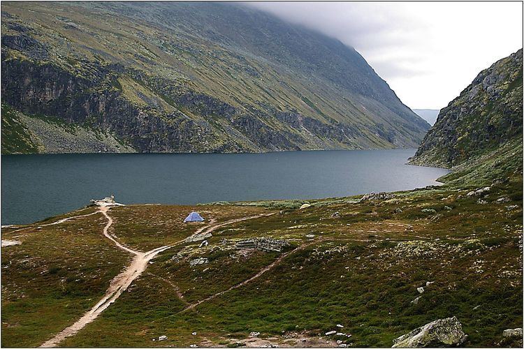 | ||
Rondvatnet is a narrow lake in Rondane National Park. By the southern end is the Norwegian Mountain Touring Association's cabin Rondvassbu. Rondvatnet separates the eastern part of Rondane from the western part, Smiubelgen.
Contents
Map of Rondvatnet, 2670 Otta, Norway
In the summer season there is a boat service on the lake transporting hikers between the southern and northern end.
The name
See Rondane
References
Rondvatnet Wikipedia(Text) CC BY-SA