
Prominence 410 m | Elevation 1,550 m Parent range Romsdalsalpane | |
 | ||
First ascent ca. 1828 by Christen Smed & Hans Bjermeland Similar | ||
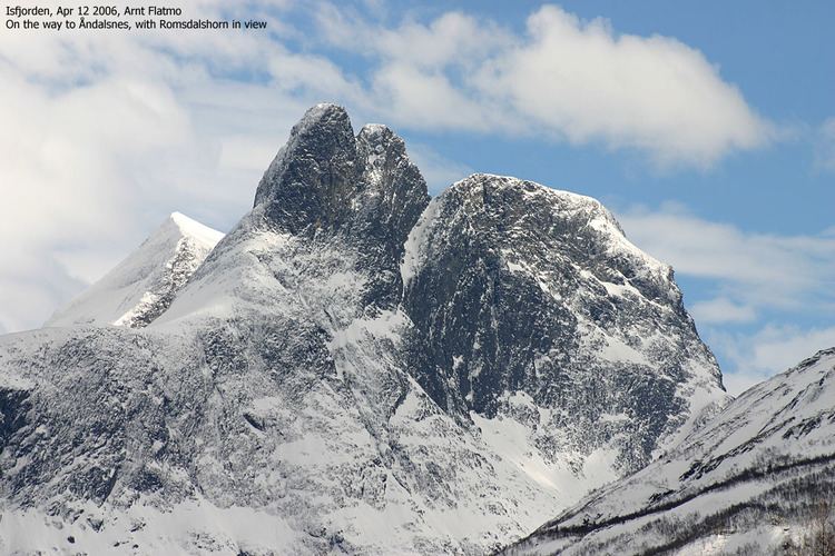
Romsdalshornet is a mountain in the municipality of Rauma in Møre og Romsdal county, Norway. The mountain is located 10 kilometres (6.2 mi) southeast of Åndalsnes, along the Rauma River and the highway E136. The mountain Store Venjetinden lies 3 kilometres (1.9 mi) east of the mountain and 3 kilometres (1.9 mi) to the west lies the mountain Store Trolltind—part of the Troll Wall/Trollryggen ridge.
Contents
Map of Romsdalshornet, 6320 Isfjorden, Norway
Romsdalshornet is a popular mountain for climbing, which is best done in late summer. Descent by rappel is recommended.
History
The first "official" ascent was 1 September 1881 by the Danish climber, Carl Hall, together with Norwegians, Erik Norahagen and Mathias Soggemoen. They arrived only to discover a cairn set up by Christen Smed and Hans Bjermeland around 1828. Previously none believed Romsdalshornet had really summitted until Hall discovered their cairn.