PIN 532214 Population 1,795 (2011) | Time zone IST (UTC+5:30) Local time Wednesday 3:01 PM | |
 | ||
Weather 37°C, Wind SE at 11 km/h, 30% Humidity | ||
Rompivalasa is a village in Srikakulam district of the Indian state of Andhra Pradesh. It is located in Pathapatnam mandal.
Contents
- Map of Rompivalasa Andhra Pradesh 532213
- Rompivalasa school silver jubilee function by somesh pandranki
- Etymology
- Demographics
- Agriculture
- Education
- References
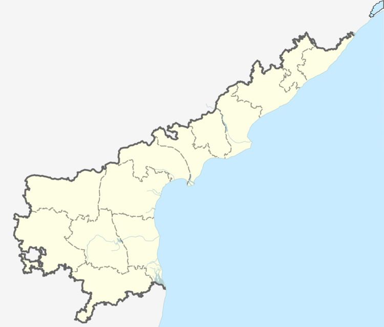
Map of Rompivalasa, Andhra Pradesh 532213
Rompivalasa school silver jubilee function by somesh pandranki
Etymology
It is said that the place was once affected by the floods of the Mahendra Tanaya river, so the nearby villagers named it rompi valasa, which literally means "mud village".
Demographics
As of 2011 census, Kolakaluru had a population of 1,795. The total population constitute, 907 males and 888 females —a sex ratio of 979 females per 1000 males. 168 children are in the age group of 0–6 years. The average literacy rate stands at 58.02% with 944 literates, significantly lower than the district average of 61.70%.
Agriculture
Most of the villagers cultivate paddy as their main crop, with an irrigated area of 243 hectares (600 acres) in 2000-01. Sometimes, they prefer blackgram and greengram as internal crops during kharif. Since 2013, farmers have also been practicing Rabi.
Education
The village's ZPH School is the main source of education. It was established in 1996. The school land was donated by Kottapalli Gangayya Achari and others.
