
Population 207 (2006 census) Rollingstone Toomulla Federal division Division of Herbert | Postcode(s) 4816 Postal code 4816 | |
 | ||
Rollingstone is a semi-rural/residential suburb approximately 54 kilometres (34 mi) north of Townsville, Queensland, Australia, and 57 kilometres (35 mi) south of Ingham, Queensland. As of the 2006 census, the population of Rollingstone was 207.
Contents
Map of Rollingstone QLD 4816, Australia
History
Settled in 1883 by John Lambert, the district was originally a pastoral lease known as Armidale, extending from Bluewater Creek in the south to Clerk Creek (later known as Ollera Creek) in the north.
The major tributary running through the centre of the Armidale pastoral lease was known as Rollingstone Creek, due to the round shape of the rocks found in the creek bed. The district name of "Rollingstone" gained popularity with locals during the construction of the bridge over the creek, as well as the Townsville to Ingham railway line. With the increasing mail service to the area, the name of the district changed to Rollingstone in 1902 to help save from confusion with Armidale, New South Wales.
Rollingstone Today
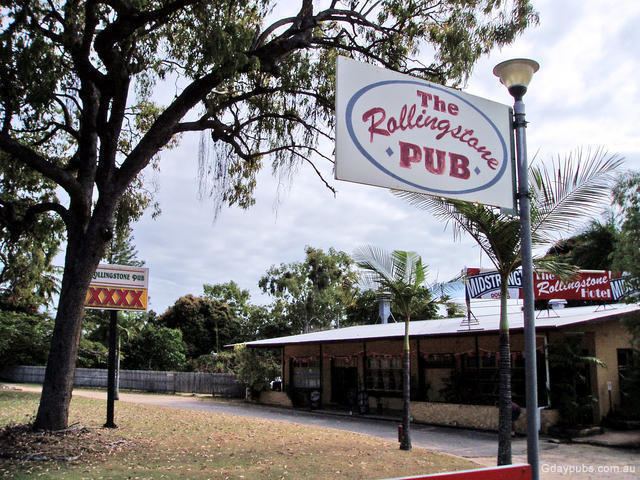
Located alongside the Bruce Highway, facilities in Rollingstone include a state primary school, a service station, general store, hotel and caravan park. Rollingstone is a popular location for recreational activities such as camping, picnicing and swimming, and it is in close proximity to Balgal Beach, popular for its fishing and patrolled beachside swimming area.