County LaPorte Population 3,559 Elevation 253 m Local time Tuesday 1:33 PM | State Indiana Township Kankakee FIPS code 18-65736 Zip code 46371 | |
 | ||
Weather 8°C, Wind N at 27 km/h, 41% Humidity | ||
Rolling Prairie is an unincorporated census-designated place in Kankakee Township, LaPorte County, Indiana.
Contents
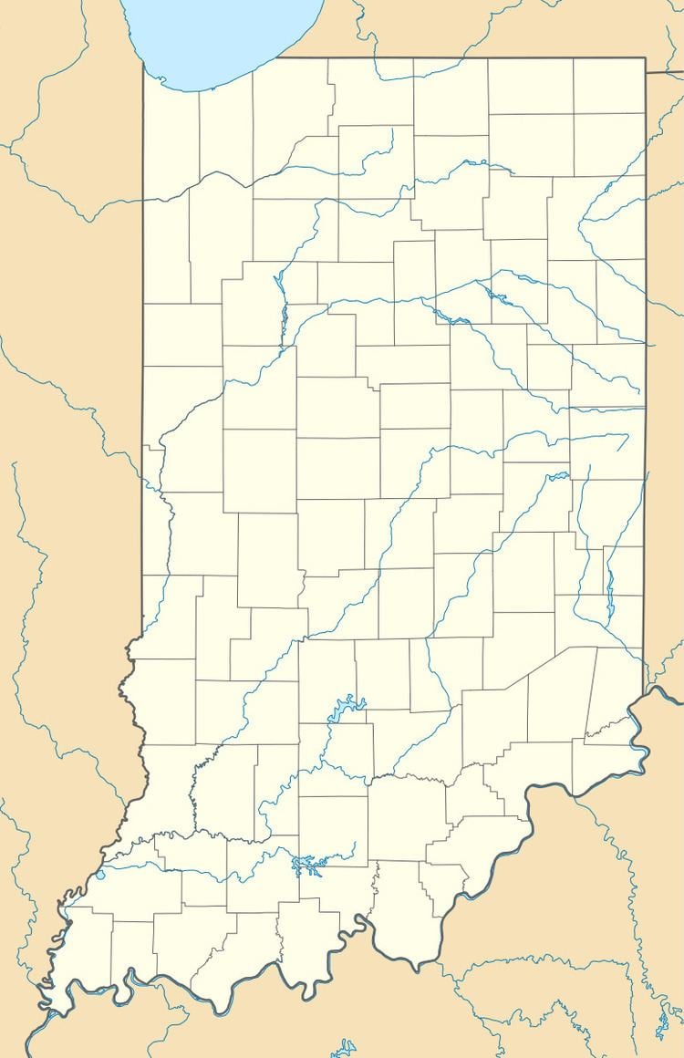
Map of Rolling Prairie, IN 46371, USA
History
The first cabin was built here in 1831 by Ezekiel Provolt. More settlers arrived, built cabins and named the settlement Nauvoo. On November 26, 1853, the village was platted by J. W. Walker and named Portland. The name of Rolling Prairie, descriptive of the undulating terrain, was later adopted by one of the railroad companies operating through the town.
Rolling Prairie had a stop on the South Shore Line until 1994, when it was closed along with several other flag stops with low ridership. The town's population was close to 500 at the 2000 census.
Geography
Rolling Prairie is located at 41°40′15″N 86°36′57″W.
References
Rolling Prairie, Indiana Wikipedia(Text) CC BY-SA
