
Amphoe Mueang Roi Et District Time zone ICT (UTC+7) Province Roi Et Province Local time Tuesday 9:34 PM | Provinces Roi Et Province Elevation 150 m (490 ft) Area 11.63 km² Population 152,959 (2000) Number of airports 1 | |
 | ||
Weather 26°C, Wind SE at 6 km/h, 92% Humidity | ||
Roi et bird s eye view
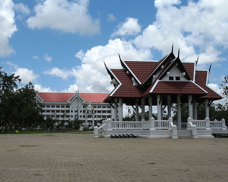
Roi Et (Thai: ร้อยเอ็ด) is a town (thesaban mueang) in north-eastern Thailand, capital of Roi Et Province. It covers the whole tambon Nai Mueang of Mueang Roi Et district. As of 2006 it had a population of 34,229. Roi Et is 514 km from Bangkok.
Contents
Roi et thailand
Geography
Roi Et lies on a flat plain about 150 metres (490 ft) above sea level.
Climate
Roi Et has a tropical savanna climate (Köppen climate classification Aw). Winters are dry and very warm. Temperatures rise until April, which is hot with the average daily maximum at 35.7 °C (96.3 °F). The monsoon season runs from May through October, with heavy rain and somewhat cooler temperatures during the day, although nights remain warm.
Transportation
Route 214 leads north to Kalasin and south to Kaset Wiset, Surin, and Prasat. Route 2044 leads east to Phon Thong. Route 23 leads west to Maha Sarakham and Ban Phai, and east to Yasothon and Ubon Ratchathani. Route 215 leads south to Suwannaphum and the border with Surin Province.
Roi Et is served by Roi Et Airport to the north of the town.