
Country Thailand Capital Roi Et town | Area 8,299.4 km2 Population 1,308,318 | |
 | ||
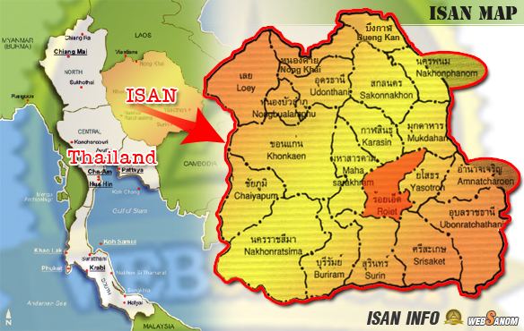
Map of Roi Et Province
Roi Et (Thai: ร้อยเอ็ด, [rɔ́ːj ʔèt]) is one of the provinces (changwat) of Thailand, in the northeast of Thailand. Neighboring provinces are (from north clockwise) Kalasin, Mukdahan, Yasothon, Sisaket, Surin, and Maha Sarakham.
Contents
Name
The name of the province literally means "one hundred and one" (ร้อยเอ็ด roi et). Correctly, the number should be "eleven" (สิบเอ็ด sip et), as the province was named after its eleven ancient gates built for its eleven vassal states. In olden times, the number "eleven" was written "๑๐๑" (101) and the province name was so written. Later, people misunderstood that "๑๐๑" was "one hundred and one" and have since incorrectly called it Roi Et.
Geography
Most of the province is covered by plains about 130–160 meters above sea level, drained by the Chi River. In the north are the hills of the Phu Phan mountain range. The Yang River is the major watercourse. In the south is the Mun River, which also forms the boundary with Surin. At the mouth of the Chi River, where it enters the Mun River, a floodplain provides a good rice farming area.
History
The area was already settled at the time of the Khmer empire, as several ruins show. However, the main history of the province began when Lao people from Champasak settled near Suwannaphum during the Ayutthaya Kingdom. In the late 18th century, King Taksin moved the city to its present site, then called Saket Nakhon.
Symbols
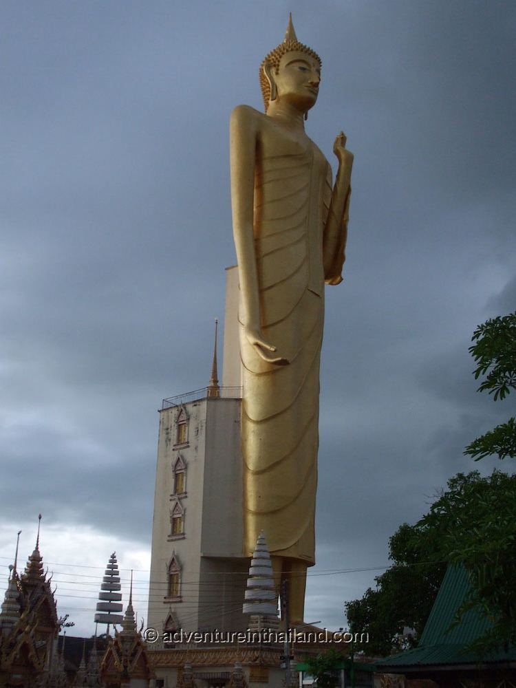
The provincial seal shows the shrine of the city pillar, which is in the artificial lake Bueng Phalan Chai. The spirit of the shrine, Mahesak, is revered by local people.
The provincial tree is Lagerstroemia macrocarpa.
Administrative divisions
The province is subdivided into 20 districts (amphoe). The districts are further subdivided into 193 subdistricts (tambon) and 2,311 villages (muban).