
Existed: 1982 – present Constructed 1982 | Length 48.3 km | |
 | ||
East end: Rodovia Carvalho Pinto in Guararema, SP | ||
Rodovia ayrton senna sao paulo
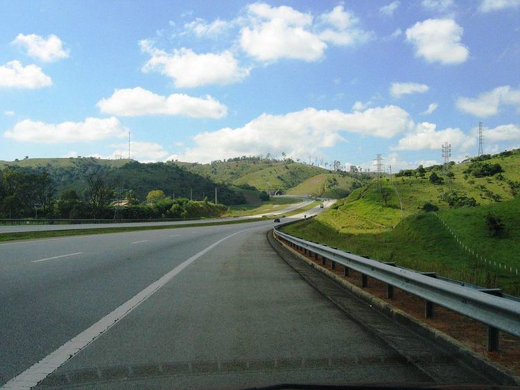
Rodovia Ayrton Senna da Silva (officially designated SP-070 and formerly named Rodovia dos Trabalhadores) (Workers' Highway), is a highway in the state of São Paulo, Brazil.
Contents
- Rodovia ayrton senna sao paulo
- Map of Rod Ayrton Senna SC3A3o Paulo Brazil
- De sp x aparecida sp sp 070 rodovia ayrton senna parte 01
- References
Map of Rod. Ayrton Senna, S%C3%A3o Paulo, Brazil
The highway begins in the Eastern region of city of São Paulo and ends at the county of Guararema, merging with Rodovia Presidente Dutra.
The cities served by Rodovia Ayrton Senna are Guarulhos, Itaquaquecetuba, Mogi das Cruzes, Suzano, Poá and Guararema. It continues in the same direction into Rodovia Carvalho Pinto, which has the same SP-070 designation, in parallel with Dutra Highway.
Near São Paulo, special highway engineering techniques had to be used, in order to cross the natural swamp area by the Tietê River without damaging the nearby ecosystem. Its main traffic nowadays is between São Paulo and the São Paulo/Guarulhos International Airport (also known as Cumbica Airport).
The highway is named in honour of the deceased Brazilian Formula One driver, Ayrton Senna.
It was managed and maintained by DERSA, a state-owned company, until June 18, 2009. It is now maintained by Ecopistas, but it is a toll road.