
Time zone MST (no DST) (UTC-7) Area 166 ha | Elevation 2,190 ft (670 m) Area code(s) 928 Population 50 (2010) | |
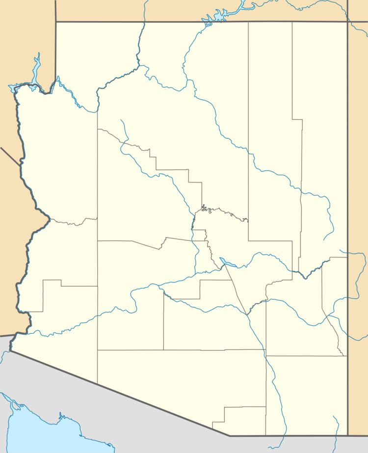 | ||
Rock House is a census-designated place (CDP) in Gila County, Arizona, United States. The population was 50 at the 2010 census.
Geography
The CDP is located in west-central Gila County in the valley of the Salt River east (upstream) of Theodore Roosevelt Lake. Arizona State Route 288, the Globe–Young Highway, passes through the community, leading north 41 miles (66 km) through Tonto National Forest to Young, and south 6 miles (10 km) to Arizona State Route 188 at a point 18 miles (29 km) north of Globe, the Gila County seat. According to the United States Census Bureau, the Pinal CDP has a total area of 0.64 square miles (1.66 km2), of which 0.61 square miles (1.57 km2) is land and 0.03 square miles (0.08 km2), or 4.99%, is water.
References
Rock House, Arizona Wikipedia(Text) CC BY-SA