
Population 700 (2011) Civil parish Stambridge Dialling code 01702 | OS grid reference TQ899916 Sovereign state United Kingdom | |
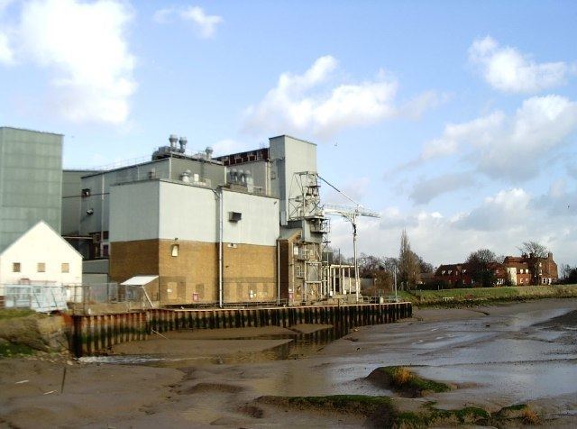 | ||
Stambridge fishery rochford essex anglers mail tactical briefings
Stambridge is a civil parish in the District of Rochford in Essex, England. It is located north of the River Roach between Rochford and Paglesham
Contents
- Stambridge fishery rochford essex anglers mail tactical briefings
- Map of Stambridge UK
- Sport and leisure
- References
Map of Stambridge, UK
The name "Stambridge" means "Stone bridge". The only bridge in the parish is now brick-built over the small stream that rises in Canewdon, flows under the road just south of the Royal Oak, and into the Roach near "Waldens". The village itself is called Great Stambridge.
Stambridge Parish formerly consisted of two parishes, Great Much, or Magna and Little or Parva. The centre of population in Great Stambridge has moved from around the church to the Royal Oak Inn area.
The combined parish consists of approximately three square miles. The boundaries are, in the east, Biggins Farm (Paglesham Road); in the west Little Stambridge Hall; the south the River Roach ; and in a line crossing Stambridge Road at "Richmonds" and number 159 Stambridge Road.
Sport and leisure
The local football club, Stambridge United, currently plays in the Essex Olympian League and was formerly a member of the Essex Senior League.