
District Kirchdorf an der Krems Vehicle registration KI Elevation 588 m Local time Friday 1:55 AM Postal code 4580 | Time zone CET (UTC+1) Website www.rossleithen.at Area 67.5 km² Population 1,863 (1 Apr 2009) Area code 07562 | |
 | ||
Weather 3°C, Wind SE at 3 km/h, 90% Humidity | ||
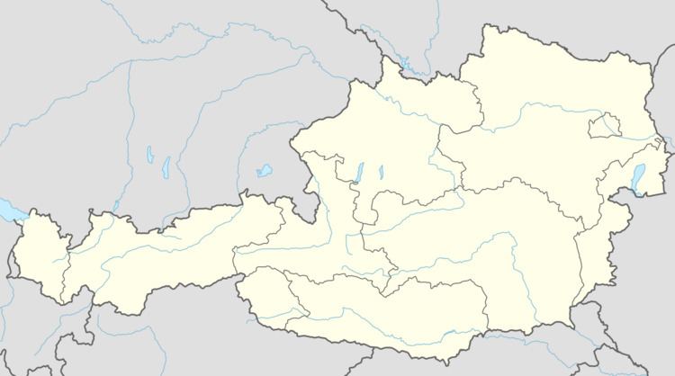
Roßleithen is a municipality in the district of Kirchdorf an der Krems in the Austrian state of Upper Austria.
Contents
Map of 4575 Ro%C3%9Fleithen, Austria
Geography
Roßleithen lies in the Traunviertel. About 61 percent of the municipality is forest, and 20 percent is farmland.
References
Roßleithen Wikipedia(Text) CC BY-SA