
Time zone EST (UTC-5) Area 15.5 km² Province Québec | Region Bas-Saint-Laurent Constituted January 1, 1986 Highways No major routes Population 0 (2011) | |
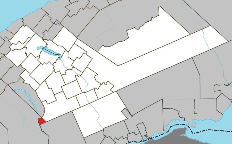 | ||
Rivière-Patapédia-Est is an unorganized territory in the Bas-Saint-Laurent region of Quebec, Canada.
Contents
Map of Rivi%C3%A8re-Patap%C3%A9dia-Est, QC, Canada
It is named after the East Patapedia River that forms the territory's western boundary. This river is the main outlet of Lake Supérieur and a tributary of the Patapédia River.
Demographics
Population trend:
References
Rivière-Patapédia-Est, Quebec Wikipedia(Text) CC BY-SA