Time zone EST (UTC−5) Area 147.1 km² Population 1,058 (2011) | Region Bas-Saint-Laurent Constituted July 1, 1855 Postal code(s) G0L 2C0 Province Québec Local time Sunday 11:01 PM | |
 | ||
Weather -6°C, Wind E at 8 km/h, 75% Humidity | ||
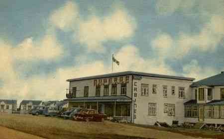
Rivière-Ouelle is a town located in the Kamouraska Regional County Municipality within the Bas-Saint-Laurent region of Quebec. It is located on the Saint Lawrence River; the Ouelle River flows through the town. It was part of the seignory of La Bouteillerie, once owned by Charles Deschamps de Boishébert et de Raffetot. Jean-Charles Chapais, a Father of Canadian Confederation, was born here.
Contents
Map of Rivi%C3%A8re-Ouelle, QC, Canada
Geography
Rivière-Ouelle lies on the south shore of the Saint Lawrence River.
Communities and locations
The following designated areas reside within the municipality's boundaries:
Municipal council
References
Rivière-Ouelle Wikipedia(Text) CC BY-SA
