
Area 259 km² | Time zone MUT (UTC+4) Population 80,939 (2015) | |
 | ||
University University of Technology, Mauritius Points of interest Flic‑en‑Flac, Tamarind Falls, Crocodile & Giant Tortoises, La Preneuse, Le Morne Brabant Destinations Port Louis, Flic‑en‑Flac, Black River Gorges National, Casela Nature Park, Chamarel | ||
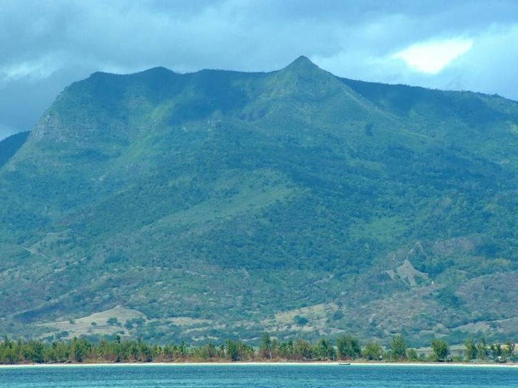
Rivière Noire is a district of Mauritius on the western side of the island. Its name Rivière Noire translates to Black River. This region receives less rainfall than the others. The district has an area of 259 square kilometres (100 sq mi) and the population estimate was 80,939 as of 31 December 2015. It is the third largest District of Mauritius in area, but the smallest in terms of population. The district is mostly rural, it also include the western part of the city of Port Louis and western part of Quatre Bornes.
Contents
Map of Rivi%C3%A8re Noire District, Mauritius
Places of interest
Famous areas include Tamarin Falls and the Chamarel coloured earth. The name Black River derives from the fact that it is the driest district of the island. Flic en Flac is one of the most beautiful and longest beach on the island.
Places
The Rivière Noire District includes different regions; however, some regions are further divided into different suburbs.
Education
Schools: