
Type Road Route number(s) State Route 5 | Length 3.4 km (2.1 mi) | |
 | ||
West end Barrack Street (State Route 53) North-east end William Street (State Route 53) | ||
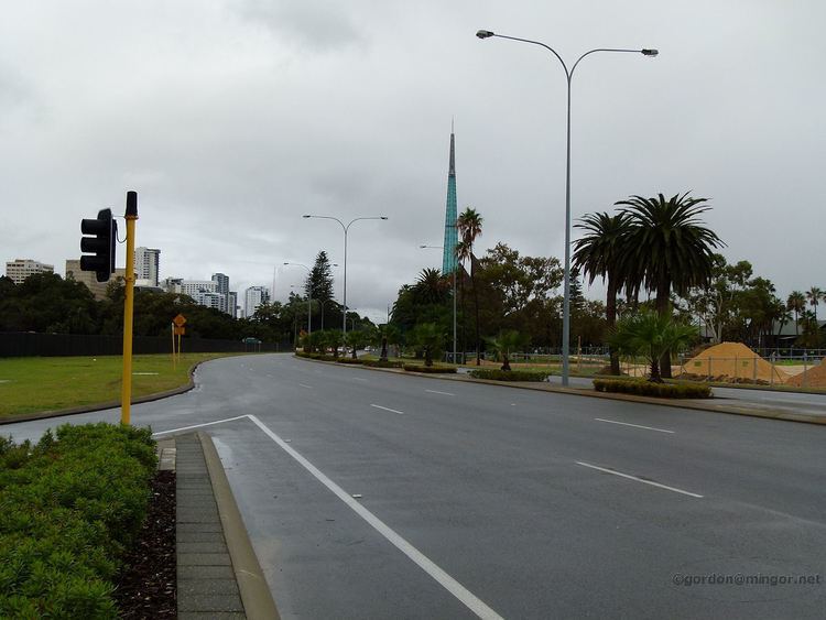
Riverside Drive in Perth, Western Australia, is a road on the northern side of Perth Water. It was built on reclaimed land in the 1930s, and links The Causeway to the Narrows Bridge.
Contents
Map of Riverside Dr, Western Australia, Australia
Route description
Riverside Drive is part of State Route 5. It begins at the intersection of The Causeway, Adelaide Terrace, and Hay Street, which is a traffic light controlled raindrop roundabout. Riverside Drive heads west-north-west, parallel to the edge of Perth Water and the city's other arterial roads. It passes by Langley Park and the Supreme Court gardens before reaching Barrack Street and the Barrack Street Jetty. Until 26 January 2014, it continued through to William Street alongside the former site of The Esplanade, now the location of Elizabeth Quay. Ramps to the Kwinana Freeway and from the Mitchell Freeway connect to the intersection with William Street, with Riverside Drive's western section continuing as a one-way road south-westbound, following the Swan River and passing beneath the Narrows Bridge, before ending at the Point Lewis Roundabout on Mounts Bay Road.
History
Riverside Drive which was planned in 1903, but which was not completed until the 1930s due to the need to have reclaimed land on which to build the road.
Construction of the road in the 1930s was seen as a threat to the lightering trade on the Swan River between Perth and Fremantle.
In the early 20th century the name of the road carried beyond its current length; proposed river-side roads were mentioned for South Perth and the northern shore of the Swan River as far as Peppermint Grove.
Plans to widen were proposed in 1985 and in 1986.
Significant changes in the landscaping along Riverside Drive were made in 1999.
At times of heavy rains and the Swan River flooding, Riverside Drive has been affected seriously, in the 1930s and 1940s as well as more recently.
Section closure
Riverside Drive was closed for the Australia Day celebrations and fireworks on 26 January 2014, however unlike other roads in the area, it remained closed between Barrack Street and William Street due to the construction of Elizabeth Quay.
Several groups and individuals have previously raised concerns about the impact on the Perth road network resulting from the diversion of Riverside Drive traffic around the new Elizabeth Quay inlet. The mayors of seven surrounding local government areas issued a joint statement stressing the importance of completing certain roadworks prior to the diversion of Riverside Drive. The Graham Farmer Freeway has had additional lanes installed in the Northbridge Tunnel to encourage motorists to bypass the city. The Royal Automobile Club raised early concerns that loss of the emergency lanes might affect emergency response times. Although a tunnel, either under the inlet or as part of one of the suggested alternative schemes, has previously been dismissed, the suggestion that a tunnel might be built at some time in the future has not been totally dismissed. In January 2014 the Opposition again raised concerns that the closure would lead to further congestion, but the Metropolitan Redevelopment Authority were confident that drivers would adapt to the change. In preparation for the closure, Riverside Drive had been reduced by one lane through that section.