
- average 3.90 m/s (138 cu ft/s) Discharge 3.9 m³/s Country United Kingdom | - location Dorchester Length 65 km Mouth River Thames | |
 | ||
- max 53.1 m/s (1,875 cu ft/s) 4 February 1990 - min 0.60 m/s (21 cu ft/s) 14 September 1990 | ||
Walk along river thames attractions london capital heritage scenes england uk by bk bazhe com
The River Thame /ˈteɪm/ is a river in Southern England. It is a tributary of the River Thames.
Contents
- Walk along river thames attractions london capital heritage scenes england uk by bk bazhe com
- Map of River Thame United Kingdom
- River thames flooding before and after aerials
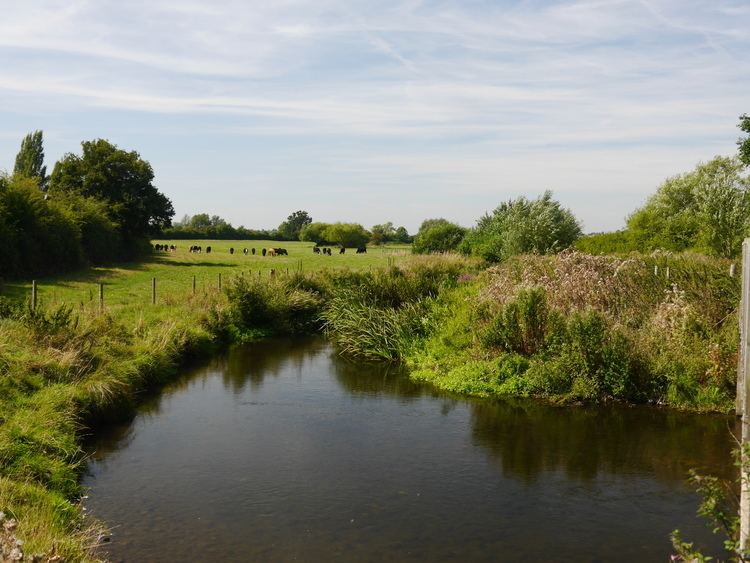
- Confluence with the ThamesEdit
- References
Map of River Thame, United Kingdom
The general course of the River Thame is south-westward and it runs from each of the longest of its many sources to the River Thames about 40 miles (65 km). The Thame rises in the English county of Buckinghamshire and discharges in south-east Oxfordshire. The Thame is non-navigable to boats save for canoes north of Dorchester-on-Thames,
The Thame's source is three streams which rise in the wide Vale of Aylesbury on the north side of the Chiltern Hills. These streams converge north-east of Aylesbury, the county town of Buckinghamshire. The Thame played a key role in the English Civil War when John Hampden (the town's Member of Parliament) led the force of Parliamentarians successfully defending Aylesbury at the Battle of Holman's Bridge, where a small road crosses the river, in 1642.
The vale streams converge by the 21st century small suburb of Watermead on the far side of a dug-out, flowing oxbow lake with several ornamental features (hence the name of the suburb). The suburb's land was in the Middle Ages, the west of Bierton with Broughton parish and so is now in that civil parish. The Thame then passes farmland of the villages of Nether Winchendon and Chearsley before reaching the market town of Thame with which it shares its name. Thame is about 15 miles (24 km) east of Oxford and grew from an Anglo-Saxon settlement beside the river. In Anglo-Saxon England Thame is a recorded place in records of the Diocese of Dorchester.
At Holton mill the Thame turns quickly southward and after passing the villages of Great Milton and Stadhampton, its valley widens. In this area in 1642 and 1643, the river acted as a line of defence for Royalist Oxford. The bridges at Wheatley, Cuddesdon Mill and Chiselhampton were key crossing points, with Chiselhampton Bridge playing a critical part in Prince Rupert's movements before and after the Battle of Chalgrove Field.
Finally the Thame reaches the village of Dorchester, Oxfordshire, or Dorchester-on-Thames. As its name indicates, a Romano-British settlement was on the site. The small town's central streets are typically Anglo-Saxon being not quite straight and at various angles. The Saxon cathedral here was superseded by Dorchester Abbey, a name since the English Reformation denoting its surviving structure which was its main building, the abbey church, built in 1170 that is 70 metres in length and a listed building at Grade I.
River thames flooding before and after aerials
Confluence with the ThamesEdit
In the far south of that parish, 0.5 miles (0.80 km) south of the town centre, the Thame flows into the River Thames, between Day's Lock and Benson Lock.
The upper River Thames has an alternative name, The Isis, until this confluence.