
- elevation 51 m (167 ft) - elevation 3 m (10 ft) Country United Kingdom | ||
 | ||
The River Tas is a river which flows northwards through South Norfolk in England - towards Norwich. The area is named the Tas Valley after the river. The origin of the name of the river is uncertain - it may have taken it from the village of Tasburgh or vice versa.
Map of River Tas, United Kingdom
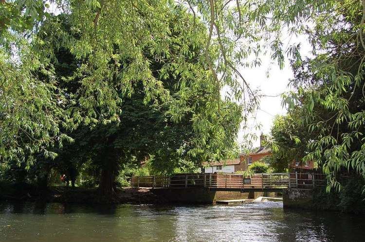
Tributaries which have their sources at Hempnall and Carleton Rode converge at Tasburgh. The river then flows on through Newton Flotman and Smockmill Common. In Shotesham Park the river splits into two channels which rejoin just above Shotesham ford. The pool here is a popular location in summer time for paddling, swimming and fishing. From Shotesham the river flows northwards through Stoke Holy Cross, Dunston, Caistor St Edmund, Markshall and Arminghall. It joins the River Yare at Trowse - just south of Norwich.
The Tas valley contains many interesting historical sites including: an Iron Age hill fort at Tasburgh, the old Roman settlement of Venta Icenorum (now Caistor St Edmund) and the site of a woodhenge at Arminghall. The mill at Stoke Holy Cross was the first location of the Colman's mustard business.
In Roman times the River Tas was considerably larger and provided a major transport route for the inhabitants of Venta Icenorum. Today it is a small, picturesque river which winds its way, largely unnoticed, through farm land.
It contains roach, dace, occasional trout, small pike and some chub. One of the largest roach ever caught in the river was a 2.6 pound specimen landed by local angler Bill Coleman in 1972. The best dace was probably one of 1.2 pounds caught by W. Comer in 1943.