Native name An tSuca | Length 80 km | |
 | ||
Basin size 1,600 square kilometres (620 sq mi) Tributaries Right:Smalghrean River, Linbaun River, Shiven River Discharge Average rate:22.2 m/s (780 cu ft/s) | ||
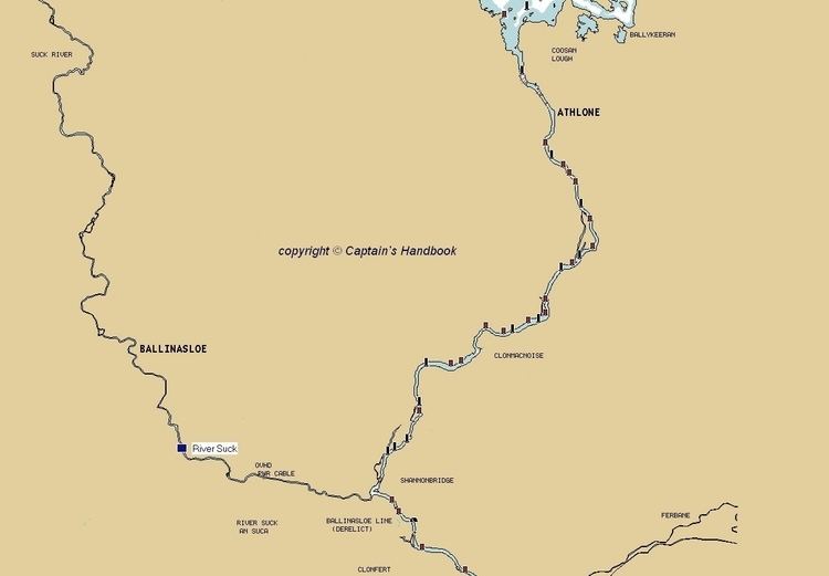
The River Suck (Irish: An tSuca) is a river within the Shannon River Basin in Ireland, 133 km (82.5 mi) in length.
Contents
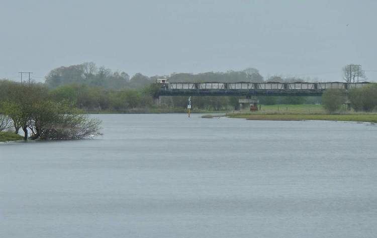
It is the main tributary of the River Shannon. It meets the Shannon a kilometer south of the village of Shannonbridge.
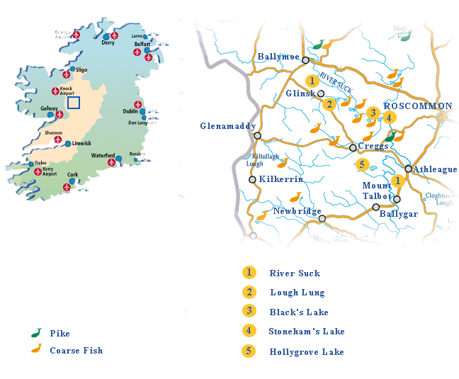
The River Suck drains an area of 1,599 square kilometres (617 sq mi). It forms much of the border between County Roscommon and County Galway, flowing along the western side of County Roscommon. Together with the Shannon on the east, it creates the long narrow form that the southern part of County Roscommon has, clearly noticeable on maps.
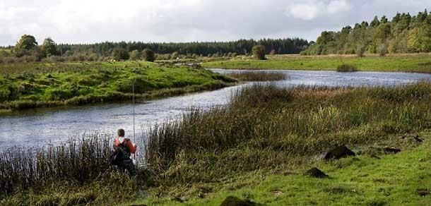
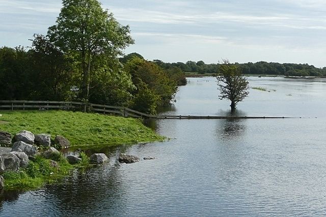
Big pike fishing river suck ireland 2013
NameEdit
The river's name is derived from the Irish suca, of uncertain meaning, possibly deriving from succin, Middle Irish for "amber."
SettlementsEdit
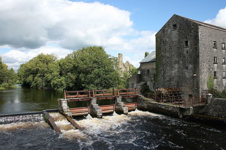
Settlements along the river include Athleague, Ballinasloe, Ballyforan, Ballymoe, Castlerea, Glinsk, and Tulrush.
Suck Valley WayEdit
The Suck Valley Way is a long-distance trail. it is a 105-kilometre (65-mile) long circular route that begins and ends in Castlerea, County Roscommon. It is designated as a National Waymarked Trail by the National Trails Office of the Irish Sports Council and is managed by Roscommon County Council, Roscommon Integrated Development Company and the Suck Valley Committee.