
Country Ireland Time zone WET (UTC+0) Elevation 80 m | Irish Grid Reference M692723 Local time Wednesday 3:08 AM | |
 | ||
Weather 3°C, Wind SW at 13 km/h, 88% Humidity | ||
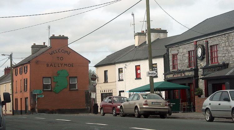
Ballymoe (historically Bellamoe, from Irish: Béal Átha Mó, meaning "ford-mouth of Mó") is a village in County Galway, Ireland. Ballymoe is situated on the western side of the River Suck that separates counties Galway and Roscommon. The N60 national secondary road meets the R360 regional road in the centre of the village.
Contents
Map of Ballymoe, Co. Galway, Ireland
History
The name Béal Átha Mó is derived from a fort which was built by Meabh of Connacht, under the order of Mogh. The fort and village would later become known as Átha Mogh Mór and Béal Átha Mogh. The town is now the centre of a small rural area involved in scale mixed farming. Raised bogs, forts and a mass rock from penal times are features of Ballymoe today.
People
References
Ballymoe Wikipedia(Text) CC BY-SA