
- elevation 130 m (427 ft) Length 38 km | - elevation 28 m (92 ft) | |
 | ||
- location Near Hoddesdon, Hertfordshire | ||
The River Stort is a river in Essex and Hertfordshire, England. It is 24 miles (38 km) long and flows from just south of the village of Langley to the River Lea at Hoddesdon. Unusually, the town of Bishop's Stortford does not derive its name from the River Stort, but the other way around. 16th-century cartographers Saxton & Camden named the river Stort, assuming the town of Stortford was named for its ford.
Contents
- Map of River Stort United Kingdom
- Narrowboat timelapse on the river stort bishops stortford to nearly harlow
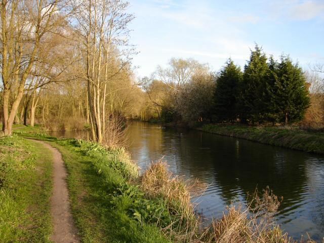
- CourseEdit
- References
Map of River Stort, United Kingdom
The river was originally a winding shallow book called the Stour. In the 17th century map makers decided to tidy things up and rename the river on the maps as the Stort to fit with the name of its principal town.
Narrowboat timelapse on the river stort bishops stortford to nearly harlow
CourseEdit
From Langley, the Stort flows in a generally southerly direction through the villages of Clavering and Manuden and the market town of Bishop's Stortford.
It then flows past Sawbridgeworth, before it changes direction and flows west past Harlow and Roydon. It finally empties into the Lea at Feildes Weir, Hoddesdon. This 14-mile (22-km) long section was canalised in the 18th century as the Stort Navigation.