
Population 355 (2011) Region East Sovereign state United Kingdom Local time Sunday 1:16 PM District Uttlesford | OS grid reference TL445351 Country England Post town SAFFRON WALDEN Shire county Essex Dialling code 01799 | |
 | ||
Weather 11°C, Wind NW at 8 km/h, 86% Humidity | ||
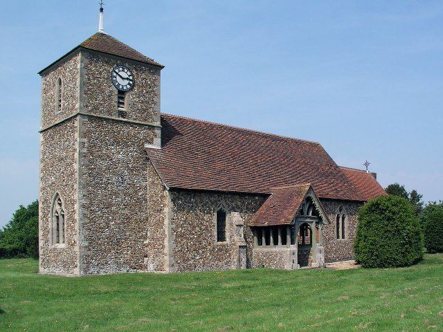
Langley is a village and civil parish in the English county of Essex, seven miles west-south-west of Saffron Walden.
Map of Langley, Saffron Walden, UK
The Parish of Langley consists of two parts, Langley Upper Green and Langley Lower Green which are linked by roads and footpaths.
Upper Green os grid reference is (TL445351).
Lower Green os grid reference is (TL437344).
Bull Lane connects Upper and Lower Green. The Bull Inn is in Langley Lower Green.
References
Langley, Essex Wikipedia(Text) CC BY-SA