
- elevation 130 m (427 ft) | Length 31 km | |
 | ||
- location Hertford, Hertfordshireinto River Lea | ||
Visit britain experience thames river rib ride
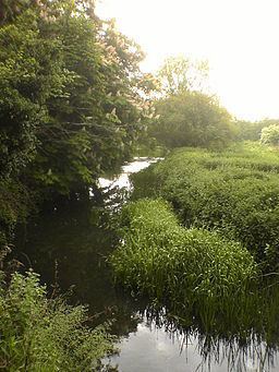
The River Rib originates near the East Hertfordshire village of Buckland and runs parallel with the A10 through Wyddial, Buntingford, Westmill, Braughing, Puckeridge and Standon, before dividing the villages of Thundridge and Wadesmill and continuing until it reaches its confluence with the River Lea near Hertford.
Contents
Map of River Rib, United Kingdom
History
The River Rib used to have frequent floods due to heavy rain in the autumn, but this propensity was resolved by dredging and engineering work in the 1970s. It was used as the main water supply in Buntingford and the surrounding areas before a pump was installed.
References
River Rib Wikipedia(Text) CC BY-SA