- elevation 497 m (1,631 ft) Length 72 km | - elevation 46 m (151 ft) | |
 | ||
Settlements | ||
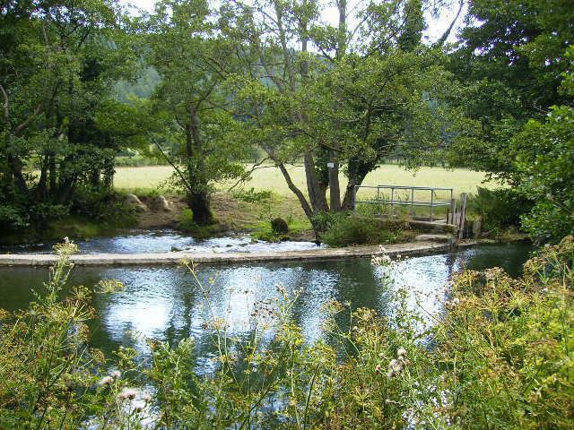
Endless pool river lugg herefordshire 480 720 hd
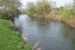
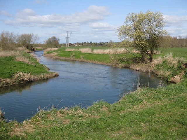
The River Lugg (Welsh: Afon Llugwy) rises near Llangynllo, Powys. It flows through the border town of Presteigne, Wales then through Herefordshire, England, including the town of Leominster, south of which it is met by a tributary, the River Arrow, then to a confluence with the River Wye, which it joins at Mordiford, 9 miles (14 km) downstream of Hereford and 45 miles (72 km) from its source.
Contents
- Endless pool river lugg herefordshire 480 720 hd
- River lugg micro adventure source to sound day 6
- NavigationEdit
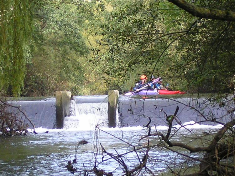
- RecreationEdit
- References
River lugg micro adventure source to sound day 6
NavigationEdit
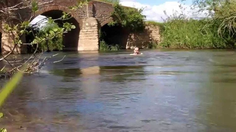
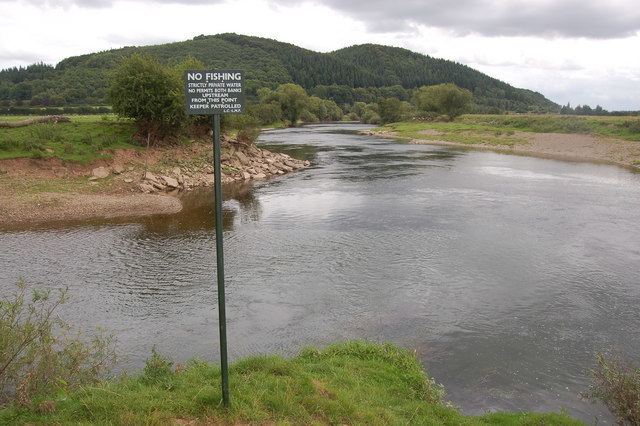
Below Leominster the river was made navigable under the River Wye & Lugg Navigation Act 1696 for improving the River Wye, and had pound locks. Despite several attempts to improve it, including making flash locks against bridges, the river was probably never a satisfactory navigation. Commercial navigation probably ceased in the early 19th century. It is still sometimes used by small boats, but can be very dangerous when in flood. The Environment Agency is the navigation authority for the river.
RecreationEdit
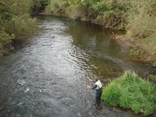
The river is popular with canoeists who have undisputed rights of navigation. It is a good fishing river.