
Local time Tuesday 7:32 PM | ||
 | ||
Weather 12°C, Wind W at 8 km/h, 80% Humidity | ||
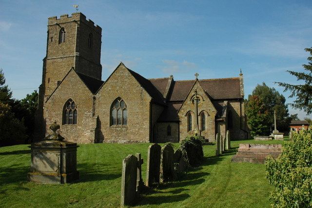
Lugwardine is a village and civil parish in Herefordshire, England, to the east of Hereford. It lies on the northeast bank of the River Lugg, which gives the village its name. The population of the civil parish taken at the 2011 Census was 1,721.
Contents
Map of Lugwardine, UK
The village lies on the A438 road; Lugwardine Bridge takes this road across the Lugg. There is a public house in the village, called the "Crown and Anchor".
St Mary's Roman Catholic High School is in the village. There is also a primary school, shared with neighbouring Bartestree.
Parish
The parish contains the village of Lugwardine as well as the following hamlets:
Lugwardine, Hagley and Bartestree effectively form a continuous linear settlement along the A438 road.
Parish council
The parish council covers both Lugwardine and the neighbouring parish of Bartestree.