
Population 8,550 (2011 census) Country Wales Postcode district NP19 9 Dialling code 01633 | OS grid reference ST352888 Sovereign state United Kingdom Postcode district NP18 2 | |
 | ||
Ringland is both an electoral ward (district) and community (parish) of the city of Newport, South Wales.
Map of Ringland, UK
The ward is bounded by Ringland Way to the east, the southern boundary of Llanwern High School to the south, Balfe Rd, Aberthaw Rd, Ringland Circle, Ringwood Avenue, across Chepstow Rd, Mountbatten close and behind Chiltern Close and Glanwern Grove to the west and the M4 motorway to the north. The area is governed by the Newport City Council.
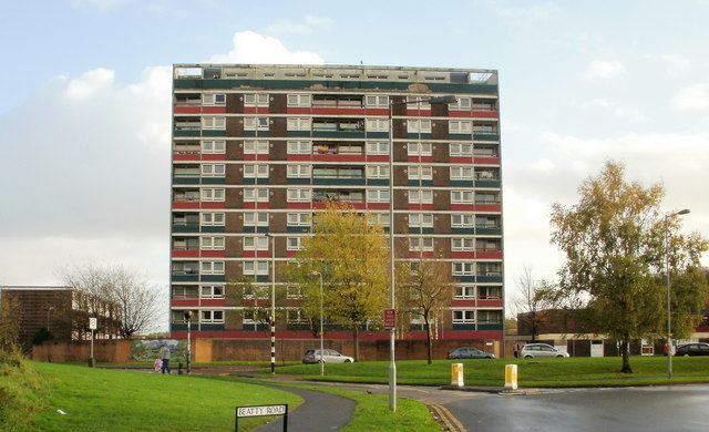
Most of the houses and flats in the area were built by the local council during the 1950s and 1960s.
Unemployment and crime levels in Ringland have traditionally been significantly above the national average.
The area was scene of a widely reported crime on 5 February 2011, when heavily pregnant 19-year-old Nikitta Grender was stabbed to death in her flat, which was then set alight. 12 months later, Carl Whant (the cousin of Miss Grender's fiancée Ryan Mayes) was found guilty of murder and child destruction (he had also inflicted stab wounds which directly killed Miss Grender's unborn daughter) and sentenced to life imprisonment a year later. The flat was demolished in 2015.