
Prominence 844 m (2,769 ft) Listing Canton high point Elevation 3,248 m | Isolation 29.8 km (18.5 mi) First ascent 1865 | |
 | ||
Similar | ||
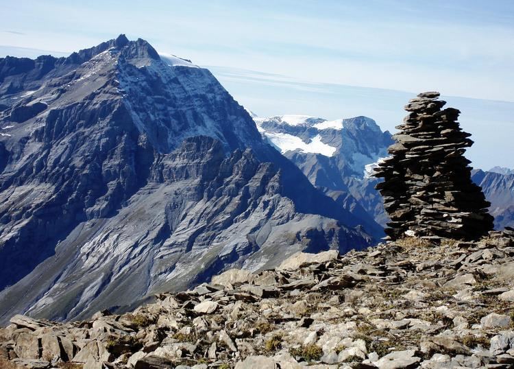
The Ringelspitz (also known as Piz Barghis) is a mountain of the Glarus Alps, located on the border between the Swiss cantons of St. Gallen and Graubünden. Reaching a height of 3,248 metres above sea level, it is the highest summit in the canton of St. Gallen. It is split between three municipalities: Pfäfers (St. Gallen), Trin and Tamins (Graubünden).
Map of Ringelspitz, 7015 Tamins, Switzerland
The Ringelspitz is the culminating point of a range, about 12 kilometres long, running from west to east and diverging from the main chain of the Glarus Alp between Piz Sardona and Piz Segnas. The massif separates the Calfeisen valley in canton St. Gallen from the Rhine valley near Flims. The north side of the mountain consists of nearly 2,000 metre-high precipitous cliffs overlooking the Gigerwaldsee (1,335 m).