
Population 214 (2006 census) Postcode(s) 7263 Elevation 283 m Postal code 7263 Lga Dorset Council | Established 1882 Founded 1882 Local time Thursday 11:23 PM | |
 | ||
Weather 11°C, Wind SE at 10 km/h, 74% Humidity | ||
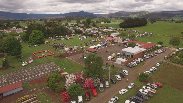
Ringarooma is a small town in north-eastern Tasmania. The district was opened up to farming in the 1860s, and the town itself was founded in 1882 when a rural property was subdivided into lots by landowner Christopher Krushka. It was initially known as Krushka Town before being renamed Ringarooma in November 1888, taking on the name of a coastal town near Bridport, which was renamed Boobyalla.
Map of Ringarooma TAS 7263, Australia
Today, Ringarooma is a small town surrounded by farming country near mountains such as Mount Victoria and Ben Lomond.
Ringarooma Post Office opened on 1 October 1874.
References
Ringarooma Wikipedia(Text) CC BY-SA