
- left Maurice River - location Ringarooma Bay | - elevation 1,020 m (3,346 ft) - elevation 0 m (0 ft) | |
 | ||
- location Mount Maurice Forest Reserve | ||
Ringarooma river tasmania 12 11 11 mp4
The Ringarooma River is a perennial river located in the north-east region of Tasmania, Australia.
Contents
- Ringarooma river tasmania 12 11 11 mp4
- Map of Ringarooma River Tasmania Australia
- Location and features
- References
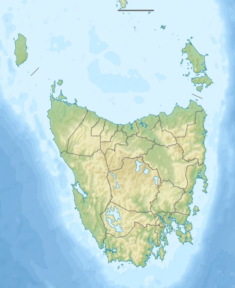
Map of Ringarooma River, Tasmania, Australia
Location and features
The Ringarooma River rises below Mount Maurice and flows generally east by north, joined by ten tributaries including the Maurice, Dorset, Cascade, Weld, and Wyniford rivers. In the lower reaches of the river, the topography comprises a floodplain and forms part of the Ramsar Lower Ringarooma River wetland. The river reaches its mouth and empties into the Tasman Sea at the Ringarooma Bay. The river descends 1,020 metres (3,350 ft) over its 124-kilometre (77 mi) course.
The Tasman Highway crosses the river on multiple occasions as part of its course.
References
Ringarooma River Wikipedia(Text) CC BY-SA