
Country United States County St. Clair FIPS code 26-68620 Elevation 239 m Zip code 48041 Local time Thursday 6:15 AM | Time zone Eastern (EST) (UTC-5) GNIS feature ID 1626982 Area 99.2 km² Population 3,046 (2000) | |
 | ||
Weather 4°C, Wind E at 18 km/h, 71% Humidity | ||
Riley Township is a civil township of St. Clair County in the U.S. state of Michigan. The population was 3,046 at the 2000 census.
Contents
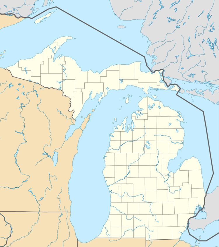
- Map of Riley Township MI 48041 USA
- Communities
- History
- Geography
- Demographics
- Historic Structures
- References
Map of Riley Township, MI 48041, USA
Communities
History
Riley Township was organized in 1841 and named for John Riley, a mixed-race Chippewa whose father had bought land in the area in 1836 and given John a lease on the land for six cents a year. A post office operated from June 1867 until September 1933.
Geography
According to the United States Census Bureau, the township has a total area of 38.3 square miles (99.2 km²), of which 38.3 square miles (99.1 km²) is land and 0.04 square mile (0.1 km²) (0.05%) is water.
Demographics
As of the census of 2000, there were 3,046 people, 1,020 households, and 854 families residing in the township. The population density was 79.6 per square mile (30.7/km²). There were 1,044 housing units at an average density of 27.3 per square mile (10.5/km²). The racial makeup of the township was 97.50% White, 0.49% African American, 0.10% Native American, 0.16% Asian, 0.39% from other races, and 1.35% from two or more races. Hispanic or Latino of any race were 1.58% of the population.
There were 1,020 households out of which 42.5% had children under the age of 18 living with them, 75.1% were married couples living together, 5.4% had a female householder with no husband present, and 16.2% were non-families. 12.5% of all households were made up of individuals and 3.9% had someone living alone who was 65 years of age or older. The average household size was 2.97 and the average family size was 3.26.
In the township the population was spread out with 29.2% under the age of 18, 6.2% from 18 to 24, 34.5% from 25 to 44, 22.1% from 45 to 64, and 8.0% who were 65 years of age or older. The median age was 35 years. For every 100 females there were 111.4 males. For every 100 females age 18 and over, there were 109.2 males.
The median income for a household in the township was $63,790, and the median income for a family was $65,919. Males had a median income of $50,955 versus $27,679 for females. The per capita income for the township was $22,381. About 2.6% of families and 3.4% of the population were below the poverty line, including 1.4% of those under age 18 and 14.2% of those age 65 or over.
Historic Structures
The Masters Road / Belle River Bridge was built in the 1930s. It is a representative example of bridges produced by Depression-era relief programs. It was built by J.H. Baker and Sons for a cost of $9,391.