
Elevation 2,385 m | First ascent 2003 | |
 | ||
Similar Pisissarfik, Mont Forel, Qalorujoorneq, Gunnbjørn Fjeld | ||
Mount Rigny, Danish: Rigny Bjerg, Rignys Bjerg) is a mountain peak in East Greenland. It is located in King Christian IX Land, Sermersooq Municipality.
Contents
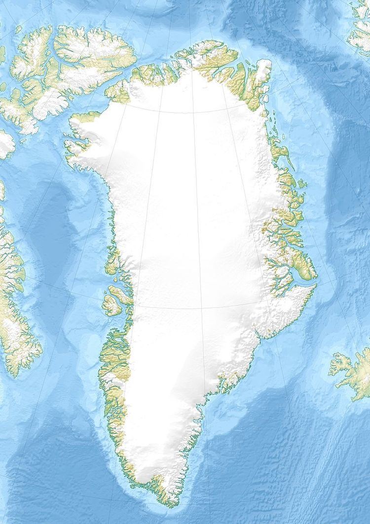
Map of Rigny Bjerg, Greenland
The mountain was named by Jules de Blosseville, after French naval officer Marie Henri Daniel Gauthier, comte de Rigny (1782–1835).
GeographyEdit
Mount Rigny is the highest peak in a mountainous area east of the Sortebrae Glacier close to the Blosseville Coast. Reaching 2,734 m (8,970 ft), Rigny Bjerg was marked on Jules de Blosseville's map of 1833 which also contained a drawing of the mountain's profile as seen from the sea. The mountain was then identified by the 1895-96 Ingolf Expedition led by C.F. Wandel, and its approximate position determined by the 1898–1900 Carlsbergfund Expedition to East Greenland led by G.C. Amdrup. This mountain's elevation and position are incorrect in the Defense Mapping Agency Greenland Navigation charts.
In Rigny Berg there are routes popular with mountaineers, such as "Snow Falcon", as well as neighboring peaks in the region such as RHARPeak. After a failed attempt in 1998, the first full ascent of the peak was made on 19 July 2003 by the 'Midnight Sun 03 Expedition'.
Certain studies claim that the mountain corresponds to the legendary Norsemen's Blåsærk and to the Mount of Gods Mercie named by Henry Hudson in 1607.