
Climate BWk | Local time Thursday 8:24 AM | |
 | ||
Rietoog is a settlement in the Hardap Region of Namibia. It is 112 kilometres by road southwest of Rehoboth and 130 kilometres north of Maltahöhe along the M47 gravel road. The name Rietoog means Cane-eye, named that because of a spring that looks like an eye, surrounded by canes, near the town.
Contents
Map of Rietoog, Namibia
History
The Basters, a group from South Africa, moved to the area in the 1890s.
Geography and climate
Rietoog has a very dry climate and is surrounded by mountains. Many people keep domestic animals such as horses, dogs, cats, and donkeys. Local plants include the camelthorn tree. A geological feature in the area is the Rietoog Nappe which is said to be "separated from the 4 upper, allochthonous units by a major sole thrust."
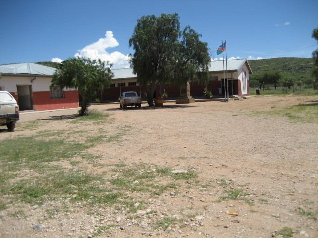
Economy, education and transport
Rietoog has a school and a few small shops. The school, WJD Cloete Junior Secondary School, opened in 1949, and currently has about 250 learners in grades 1-10. To travel locally people ride in donkey carts, which are carts pulled by 2-4 donkeys. A minibus transports people to Rehoboth.