Airport type Public Elevation AMSL 1,140 ft / 347 m 5,500 1,676 Phone +1 765-983-7297 | 6/24 5,500 1,676 Asphalt Serves Richmond | |
 | ||
Address 5169 Indiana 227, Richmond, IN 47374, USA Similar Earlham College, Greenwo Apartments Inc, Richmond Purchasing Departme, Palladiu Media Group, Richmond High School | ||
Short flight at krid richmond municipal airport
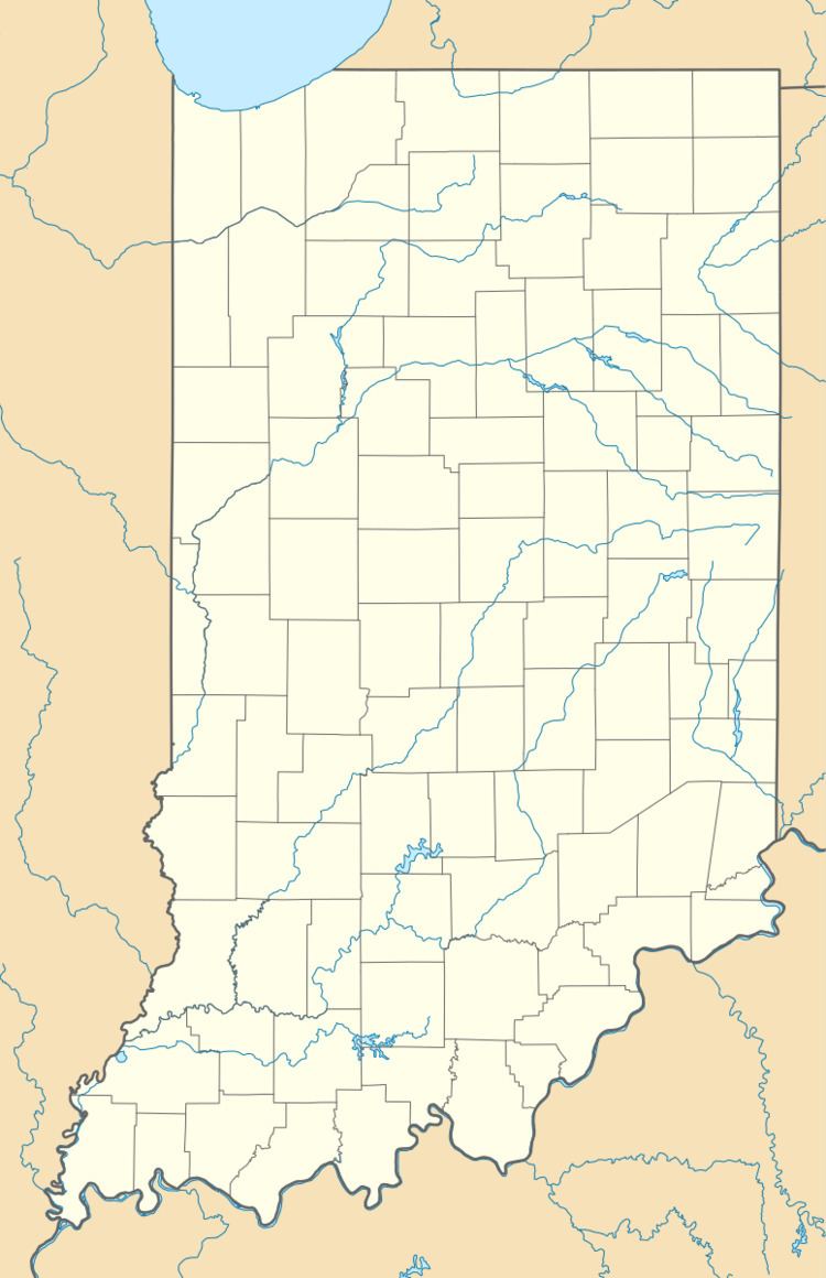
Richmond Municipal Airport (IATA: RID, ICAO: KRID, FAA LID: RID) is six miles southeast of Richmond, in Wayne County, Indiana. It is owned by the Richmond Board of Aviation Commissioners. The National Plan of Integrated Airport Systems for 2011–2015 called it a general aviation facility.
Contents
The first airline flights were Delta DC-3s in late 1947; Lake Central dropped Richmond in 1965-66.
Facilities
The airport covers 702 acres (284 ha) at an elevation of 1,140 feet (347 m). It has two asphalt runways: 6/24 is 5,500 by 150 feet (1,676 x 46 m) and 15/33 is 5,000 by 100 feet (1,524 x 30 m).
In 2009 the airport had 19,896 aircraft operations, average 54 per day: 97% general aviation, 2% air taxi, and 1% military. 25 aircraft were then based at this airport: 76% single-engine, 16% helicopter, and 8% multi-engine.
