
Country United States ZIP code 97462 Elevation 139 m | Time zone Pacific (PST) (UTC-8) Area code(s) 458 and 541 Local time Wednesday 11:51 AM | |
 | ||
Weather 9°C, Wind S at 11 km/h, 85% Humidity | ||
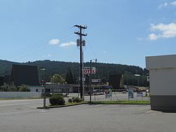
Rice Hill is an unincorporated community in Douglas County, Oregon, United States. It is located about 10 miles (16 km) north of Oakland on Interstate 5.
Map of Rice Hill, OR 97462, USA
Rice Hill is a summit that divides the watersheds of Elk Creek and the Umpqua River. It was named either for Isadore F. Rice, who settled in the area in the 1850s, or for William S. Rice, who had a Donation Land Claim at the north end of Rice Valley at about the same time. The two-mile long valley stretches south from the community of Rice Hill. Southern Pacific Railroad (today Union Pacific) has a station on its Siskiyou Line at the summit named Rice Hill. Rice Hill post office was established in 1892, and soon renamed Ricehill. The office closed in 1908. The steep grade of Rice Hill, elevation 710 feet (220 m), was an obstacle for pioneer travelers and it also created problems for the construction of the railroad, as it rises 325 feet (99 m) in 3 miles (4.8 km).
Rice Hill has complete tourist facilities, including a truck stop, motels, and restaurants. It has long been a popular spot to stop for ice cream.