
Admin. region Freiburg Elevation 130 m (430 ft) Area 73.43 km² Postal code 77866 Administrative region Freiburg | District Ortenaukreis Time zone CET/CEST (UTC+1/+2) Population 11,208 (31 Dec 2008) Local time Wednesday 7:37 AM | |
 | ||
Weather 8°C, Wind SW at 6 km/h, 87% Humidity | ||
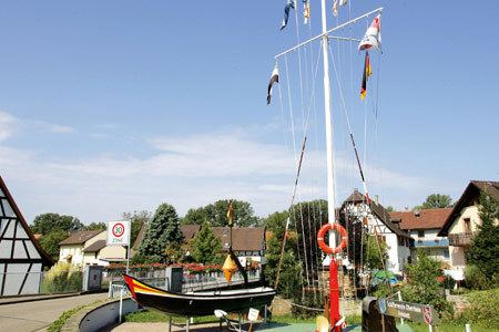
Rheinau is a town in southwestern Baden-Württemberg, Germany and is part of the district of Ortenau.
Contents
- Map of 77866 Rheinau Germany
- Geography
- Neighboring communities
- Boroughs
- History
- Local council Elections in May 2014
- Buildings
- Events
- Infrastructure
- References
Map of 77866 Rheinau, Germany
Geography
Rheinau is located in the Upper Rhine River Plains directly on the Rhine and as such at the German-French border. The center of town is located immediately on the Rhine crossing to France and the southern borough of Linx is located not far from Kehl and Strasbourg.
Neighboring communities
Rheinau shares common borders with the following cities and towns, listed clockwise from the north: Lichtenau (district of Rastatt), Achern, Renchen, Appenweier and Kehl (all in the district of Ortenau) and the Alsatian town of Gambsheim.
Boroughs
Rheinau is made up of the boroughs of Freistett (Hauptort and administrative seat of Rheinau with city hall), Diersheim, Hausgereut, Helmlingen, Holzhausen, Honau, Linx, Memprechtshofen and Rheinbischofsheim.
History
The city of Rheinau was created during the Baden-Württemberg district reform in 1975 through the combination of the formerly independent communities of Freistett, Helmlingen, Memprechtshofen, Rheinbischofsheim, Hausgereut, Diersheim, Linx, Hohbühn, Holzhausen and Honau.
Local council (Elections in May 2014)
Buildings
Events
Every Friday morning there is a farmers' market in Freistett.
Infrastructure
Rheinau is connected to Achern, Bühl and Kehl by bus lines and belongs to the Public Transportation Authority of the district of Ortenau.