
Department Bas-Rhin Canton Brumath Area 17.38 km² | Population (2006) 4,352 Local time Friday 4:38 AM | |
 | ||
Weather 6°C, Wind NW at 5 km/h, 92% Humidity | ||
Gambsheim is a commune in the Bas-Rhin department in Grand Est in north-eastern France.
Contents
Map of Gambsheim, France
Geography
It is adjacent to a river crossing into Germany that is favoured by southbound autoroute traffic wishing to avoid traffic delays around Strasbourg. The road crossing the river coincides with a large lock which is also the site of one of the Rhine's first fish ladders installed to support migratory fish in general and, more specifically, to try and restore the abundant salmon population for which the upper Rhine was famous before the early 20th century, when the installation of a series of locks rendered the river navigable beyond Basel for boats, but blocked it for migrating fish.
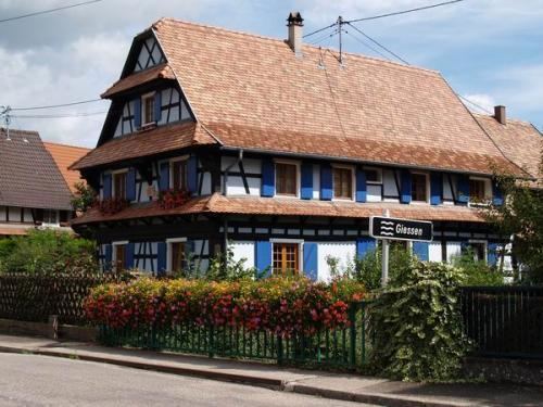
Landmarks
References
Gambsheim Wikipedia(Text) CC BY-SA