
Time zone CET/CEST (UTC+1/+2) Area 5.5 km² Population 376 (31 Dec 2008) Dialling code 02657 | Elevation 445 m (1,460 ft) Postal codes 56769 Local time Tuesday 7:46 PM Postal code 56769 | |
 | ||
Weather 16°C, Wind W at 16 km/h, 45% Humidity | ||
Retterath is an Ortsgemeinde – a municipality belonging to a Verbandsgemeinde, a kind of collective municipality – in the Vulkaneifel district in Rhineland-Palatinate, Germany. It belongs to the Verbandsgemeinde of Kelberg, whose seat is in the like-named municipality.
Contents
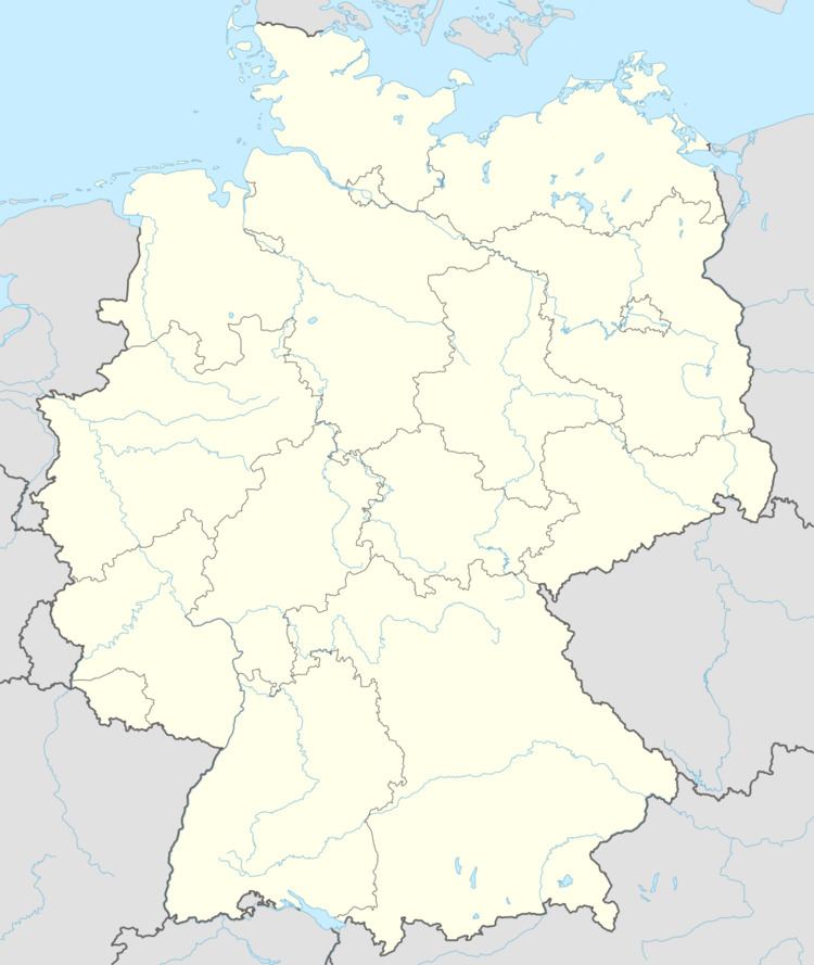
Map of Retterath, Germany
Location
The municipality lies in the Vulkaneifel, a part of the Eifel known for its volcanic history, geographical and geological features, and even ongoing activity today, including gases that sometimes well up from the earth.
History
In 954, Retterath had its first documentary mention in some documents from Archbishop of Trier Ruotbert (died 956). From the Middle Ages until the late 18th century, Retterath belonged to the County of Virneburg.
Up above Retterath runs a hiking trail around the Hochkelberg. The twelve-kilometre-long path leads by places that are steeped in both history and blood. In the village, there was on Electoral-Trier-held lands a Virneburg high court occupied by 3 Heimburgen – roughly equivalent to “mayors” – from Retterath, Mannebach and Lirstal and 7 Schöffen (roughly “lay jurists”), according to a Weistum from 1468 (a Weistum – cognate with English wisdom – was a legal pronouncement issued by men learned in law in the Middle Ages and early modern times). The reconstructed gallows remind one that this County of Virneburg blood court held its executions here in the woods. The condemned were not only hanged from the gallows, but also, according to each one’s sentence, broken on the wheel, drawn and quartered or beheaded. A stone’s throw from the gallows lies the Grüner Weiher, a pond where once women who had killed their child were drowned. In those days, women were also deemed guilty if they had become pregnant by rape or if they were too poor to raise their child.
In 1809, the village had, together with Arbach and Salcherath, its own municipal area. Under Prussian administration, Retterath was a municipality in the Bürgermeisterei (“Mayoralty”) of Kelberg in the Adenau district.
In the 1820s, a killer was on the loose around Retterath. Five people fell victim to the one-armed fiend who throughout the region was known simply as Stumpfarm – “Stump-Arm”.
In the course of administrative restructuring in Rhineland-Palatinate in 1970, the municipality, along with the others in the Amt of Kelberg, was assigned to the Daun district, which has since been given the name Vulkaneifel.
Municipal council
The council is made up of 8 council members, who were elected by majority vote at the municipal election held on 7 June 2009, and the honorary mayor as chairman.
Mayor
Retterath’s mayor is Hermann Hay, and his deputies are Leo Schüller and Franz-Josef Simon.
Coat of arms
The German blazon reads: Durch Wellenschnitt von Blau über Gold geteilt, oben eine fliegende weiße Taube mit weißem Ölkrug im Schnabel, unten 7 (4:3) rote Rauten balkenweise.
The municipality’s arms might in English heraldic language be described thus: Per fess wavy, azure a dove volant bearing an oil jug in its beak argent, and Or seven lozenges gules, four and three.
The municipality’s and the church’s patron saint is Saint Remigius, whose attribute is the dove bearing an oil jug in its beak, thus explaining the charge above the line of partition. In feudal times, Retterath belonged, as an Electoral-Trier fief, to the County of Virneburg. The charge below the line of partition is from the arms formerly borne by the Counts of Virneburg. An 18th-century court seal from Retterath also bore this device.