
Time zone CET/CEST (UTC+1/+2) Area 4.4 km² Postal code 56769 Dialling code 02657 | Postal codes 56769 Local time Tuesday 7:01 AM Population 152 (31 Dec 2008) | |
 | ||
Weather 3°C, Wind SW at 26 km/h, 77% Humidity | ||
Arbach is an Ortsgemeinde – a municipality belonging to a Verbandsgemeinde, a kind of collective municipality – in the Vulkaneifel district in Rhineland-Palatinate, Germany. It belongs to the Verbandsgemeinde of Kelberg, whose seat is in the like-named municipality.
Contents
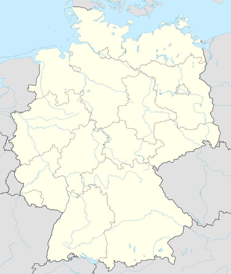
- Map of Arbach Germany
- Location
- History
- Municipal council
- Coat of arms
- Buildings
- Natural monuments
- References
Map of Arbach, Germany
Location
The municipality lies in the Vulkaneifel, a part of the Eifel known for its volcanic history, geographical and geological features, and even ongoing activity today, including gases that sometimes well up from the earth.
History
In 1336, Arbach had its first documentary mention as Arrebarre or Arrebach, in which the prefix Arre – cognate with the English “ear” in the same meaning – referred to ears of cereal grains (this is Ähre in Modern High German).
Municipal council
The council is made up of 6 council members, who were elected by majority vote at the municipal election held on 7 June 2009, and the honorary mayor as chairman.
Coat of arms
The German blazon reads: In Gold, durch einen schrägrechten blauen Wellenbalken geteilt, vorn drei schwarze Getreidehalme, hinten ein rotes durchgehendes Kreuz.
The municipality’s arms might in English heraldic language be described thus: Or a bend wavy azure between three wheat stalks, the one in dexter bent to dexter below the ear and the one in sinister bent to sinister at the ear sable, and a cross gules.
Buildings
Natural monuments
As in many municipalities in this area that long stood under Napoleonic hegemony, the hundredth anniversary of the liberation from the “Frenchman’s Yoke” was also celebrated here in 1913 with the planting of a so-called Kaiserlinde (“Emperor’s limetree”) in Kaiser Wilhelm II’s honour and the placing of a memorial stone. The stone can still be seen on Schulstraße at the old school.