
Population 47,637 (2011 census) Postal code 3073 | Postcode(s) 3073 State electorate(s) PrestonThomastown Area 19.1 km² Federal division Division of Batman | |
 | ||
Location 12 km (7 mi) from Melbourne | ||
Reservoir (/ˈrɛzəvɔːr/, locally [ˈɹezəvoː]) is a suburb of Melbourne, Victoria, Australia, 12 km north of Melbourne's Central Business District. Its local government area is the City of Darebin. At the 2011 Census, Reservoir had a population of 47,637.
Contents
Map of Reservoir VIC 3073, Australia
Reservoir is an established suburb with standard brick homes, weatherboard homes, and an increasing number of new developments. The region contains popular recreation areas and facilities, including Edwardes Lake and the Reservoir Leisure Centre, and is home to the Edwardes Street and Broadway shopping strips.
History
The land which became the suburb of Reservoir was first surveyed by Robert Hoddle in 1837 and was formed from parts of both the Jika Jika Parish and Keelbundoora Parish.
The Rose Shamrock Hotel opened on Plenty Road in 1854. Reservoir Post Office opened around 1921. Reservoir became a suburb at this time with the name coming from the three water reservoirs first built in 1863, collectively known as Preston Reservoir, which continue to form part of the fresh water to Melbourne’s inner and western suburbs.
In 1914 Thomas Dyer Edwardes donated an area of 34 acres of land to the people of the former City of Preston. This land was developed into Edwardes Lake Park. Between 1919 and 1939 swimming was officially permitted with the presence of the Preston Lifesaving Club and regular demonstrations of swimming and lifesaving techniques during this time.
Overview
Reservoir is close to the Northland Shopping Centre, Preston Market, High Street food quarter, Sydney Road shops and restaurants and one of three remaining drive-in cinemas in Melbourne, the Village in Coburg. The area is experiencing unprecedented growth, with plenty of new developments. It is also very popular with young home-buyers looking for a 'still affordable' inner city lifestyle.
Demographics
The most common ancestries in Reservoir were Italian 17.1%, Australian 14.8%, English 13.9%, Greek 6.3% and Irish 5.1%. 55.9% of people were born in Australia. The most common countries of birth were Italy 8.2%, India 4.4%, China (excludes SARs and Taiwan) 3.2%, Greece 3.0% and Vietnam 1.8%.
Transport
The area is serviced by four railway stations on the South Morang railway line: Reservoir, Regent, Keon Park, and Ruthven as well as by many bus routes.
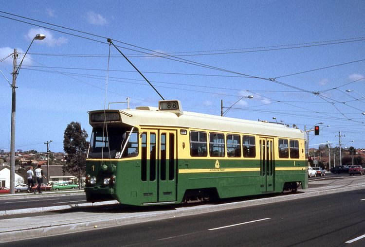
Two tram lines service the area with the West Preston tram route ending at the south end of Reservoir and the Bundoora RMIT tram route passing through Reservoir along Plenty Road.
The Merri Creek Trail and Darebin Creek Trail are shared-use recreational paths used by cyclists and walkers that pass through Reservoir.
Reservoir has easy access to the Northern/Western Ring Rd, Hume Highway/Freeway, Tullamarine & Calder Freeways and Eastern Freeway.
Education
Sport
Victorian cricketer Ray Harvey lives in Reservoir.