
Length Approx 21 km Hills Undulating | Trail difficulty Easy | |
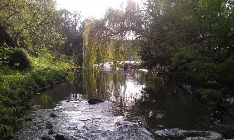 | ||
Location Melbourne, Victoria, Australia Hazards Some blind corners, steep drop into creek, dog droppings on and beside trail, snakes Surface Shared use concrete path | ||
Magnificent melbourne bike trails merri creek trail 45km
The Merri Creek Trail is a shared use path for cyclists and pedestrians that follows the Merri Creek through the northern suburbs of Melbourne, Victoria, Australia.
Contents
- Magnificent melbourne bike trails merri creek trail 45km
- Map of Merri Creek Trail Victoria Australia
- Merri creek trail
- Route
- Landmarks
- Connections
- References
Map of Merri Creek Trail, Victoria, Australia
Merri creek trail
Route
The path commences at Dights Falls near where Merri Creek enters the Yarra River, and then takes a winding route, mainly following the creek all the way to the Western Ring Road Trail. Hazards include a steep section, unmanageable to all but the most hardy cyclists and close to a school, at Heidleberg Road in Clifton Hill, and a missing section in North Fitzroy that requires leaving the river cutting to cross St. George's Road.
The route is now sealed for its entirety, with the last unsealed sections replaced in 2008. Along the way it passes by CERES, the Brunswick velodrome and the Coburg Lake park.
At the Western Ring Road Trail, heading west will lead you to the Moonee Ponds Creek Trail, Brimbank Park and the Maribyrnong River Trail. La Trobe University Bundoora campus can be accessed by following the trail east.
Landmarks
Connections
North end at 37.694670°S 144.967497°E / -37.694670; 144.967497. South end at 37.783139°S 144.992628°E / -37.783139; 144.992628.