
Country United States Elevation 362 m Local time Tuesday 12:47 AM | GNIS feature ID 0476193 Area 83.55 km² Population 1,024 (2000) | |
 | ||
Weather 11°C, Wind SE at 3 km/h, 90% Humidity | ||
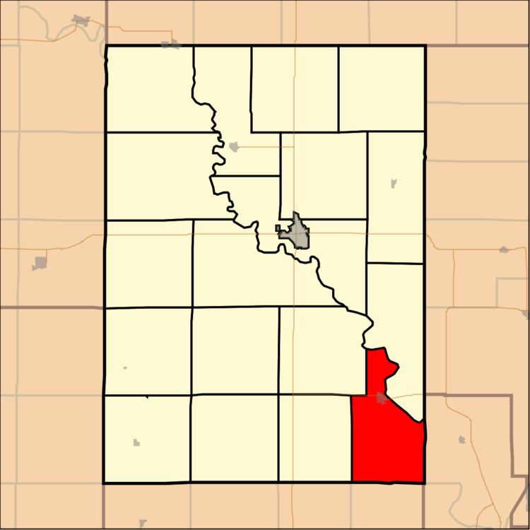
Republican Township is a township in Clay County, Kansas, USA. As of the 2000 census, its population was 1,024.
Contents
Map of Republican, KS, USA
Geography
Republican Township covers an area of 32.26 square miles (83.6 km2) and contains one incorporated settlement, Wakefield. According to the USGS, it contains one cemetery, Madura.
The streams of Cane Creek and Quimby Creek run through this township.
Transportation
Republican Township contains one airport or landing strip, Wakefield Municipal Airstrip.
References
Republican Township, Clay County, Kansas Wikipedia(Text) CC BY-SA