
Country United States County Clay Time zone Central (CST) (UTC-6) Zip code 67487 | Elevation 1,142 ft (348 m) Area code 785 Population 976 (2013) | |
 | ||
Weather 10°C, Wind N at 5 km/h, 47% Humidity | ||
Wakefield is a city in Clay County, Kansas, United States. As of the 2010 census, the city population was 980.
Contents
- Map of Wakefield KS 67487 USA
- History
- Geography
- Climate
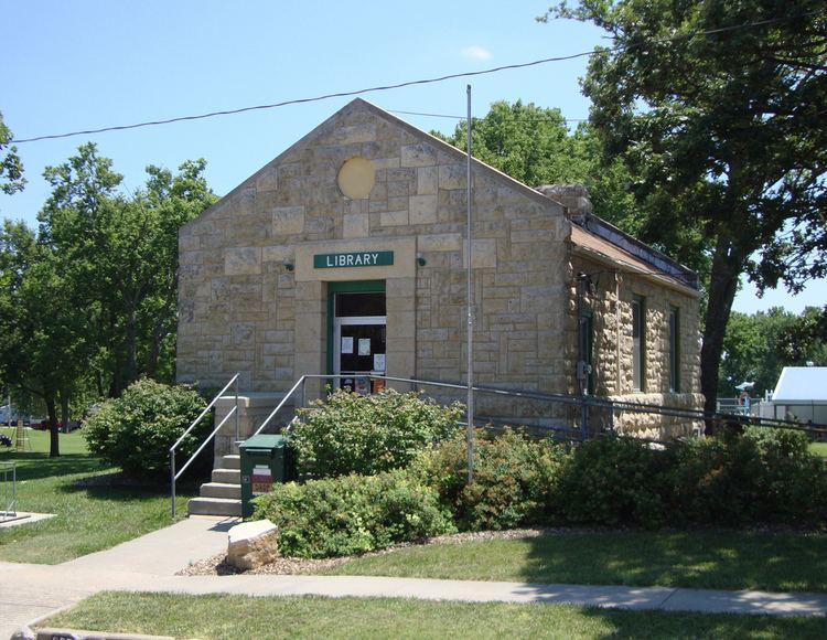
- Area attractions
- 2010 census
- 2000 census
- Education
- Notable people
- References
Map of Wakefield, KS 67487, USA
History
Wakefield was founded in 1869. It was named for one of its founders, Rev. Richard Wake, but also because another founder was a native of Wakefield, England. The railroad was built through Wakefield in 1873.
Geography
Wakefield is located at 39°12′58″N 97°0′55″W (39.216228, -97.015244). According to the United States Census Bureau, the city has a total area of 0.50 square miles (1.29 km2), all of it land.
Climate
The climate in this area is characterized by hot, humid summers and generally mild to cool winters. According to the Köppen Climate Classification system, Wakefield has a humid subtropical climate, abbreviated "Cfa" on climate maps.
Area attractions
2010 census
As of the census of 2010, there were 980 people, 357 households, and 272 families residing in the city. The population density was 1,960.0 inhabitants per square mile (756.8/km2). There were 413 housing units at an average density of 826.0 per square mile (318.9/km2). The racial makeup of the city was 94.7% White, 0.4% African American, 0.6% Native American, 0.5% Asian, 0.3% from other races, and 3.5% from two or more races. Hispanic or Latino of any race were 3.5% of the population.
There were 357 households of which 41.2% had children under the age of 18 living with them, 59.9% were married couples living together, 14.0% had a female householder with no husband present, 2.2% had a male householder with no wife present, and 23.8% were non-families. 21.3% of all households were made up of individuals and 9.3% had someone living alone who was 65 years of age or older. The average household size was 2.67 and the average family size was 3.08.
The median age in the city was 35.5 years. 28.8% of residents were under the age of 18; 6.4% were between the ages of 18 and 24; 29.7% were from 25 to 44; 20.1% were from 45 to 64; and 15.1% were 65 years of age or older. The gender makeup of the city was 48.4% male and 51.6% female.
2000 census
As of the census of 2000, there were 838 people, 323 households, and 231 families residing in the city. The population density was 1,774.7 people per square mile (688.4/km²). There were 362 housing units at an average density of 766.6 per square mile (297.4/km²). The racial makeup of the city was 95.94% White, 0.84% African American, 1.07% Native American, 0.12% Asian, 0.60% from other races, and 1.43% from two or more races. Hispanic or Latino of any race were 1.19% of the population.
There were 323 households out of which 39.9% had children under the age of 18 living with them, 64.4% were married couples living together, 5.3% had a female householder with no husband present, and 28.2% were non-families. 24.1% of all households were made up of individuals and 13.6% had someone living alone who was 65 years of age or older. The average household size was 2.59 and the average family size was 3.11.
In the city, the population was spread out with 29.7% under the age of 18, 6.2% from 18 to 24, 31.5% from 25 to 44, 21.1% from 45 to 64, and 11.5% who were 65 years of age or older. The median age was 35 years. For every 100 females there were 97.6 males. For every 100 females age 18 and over, there were 93.1 males.
The median income for a household in the city was $41,719, and the median income for a family was $50,526. Males had a median income of $31,875 versus $19,833 for females. The per capita income for the city was $16,939. About 4.2% of families and 9.4% of the population were below the poverty line, including 14.6% of those under age 18 and 7.8% of those age 65 or over.
Education
Wakefield is served by USD 379 Clay County.
The Wakefield High School mascot is Bombers. The Wakefield Bombers won the Kansas State High School Boys class 1A Cross Country championship in 1973, 1984 and 1985.