
Local time Monday 12:38 PM | ||
 | ||
Weather 29°C, Wind NE at 27 km/h, 51% Humidity | ||
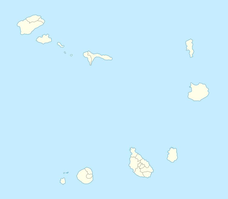
Relva is a settlement in the eastern part of the island of Fogo, Cape Verde. It is situated near the coast, 7 km southeast of Mosteiros and 23 km southeast of the island capital São Filipe. The municipal boundary with Santa Catarina do Fogo is over a kilometer south and sits over 5 km east of the nation's tallest summit Pico do Fogo.
Map of Relva, Cape Verde
As with other parts of Fogo, Agriculture is its main industry.
It is one of the places on the island where the island of Santiago can be seen.
Around 73,000 BC or 75,000 years ago, the area was formed as part of the interior of the earlier Fogo Mountain, its landscape before was about 1,500 meters (4,500 feet) higher, the eastern half collapsed and with some erosion and lava flow over the centuries, it would form the current landscape.