
District Thabo Mofutsanyane Established 1890 Area 25.7 km² Local time Monday 10:45 AM | Elevation 1,630 m (5,350 ft) Population 20,183 (2011) Area code 058 | |
 | ||
Weather 20°C, Wind W at 26 km/h, 50% Humidity | ||
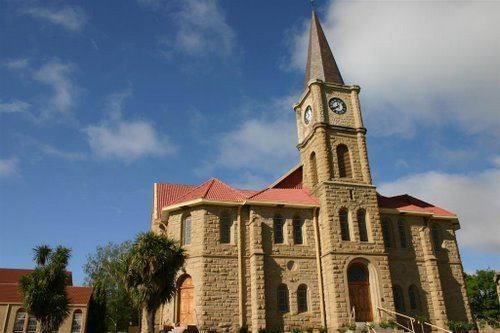
Reitz is a small maize, wheat and cattle farming town located in the east of the Free State province of South Africa.
Contents
- Map of Reitz 9810 South Africa
- Economy and Farming
- History and Name
- Location
- Nearby towns
- Helpful links
- References
Map of Reitz, 9810, South Africa
Economy and Farming
The town has one of the largest maize silos in the southern hemisphere and is a major maize growing community.
History and Name
Founded in 1889, the town was previously known as Singer's Post, its name was changed to Amsterdam, and again to its current name Reitz after the Orange Free State president, Francis William Reitz.
Location
Reitz is located in the north-eastern part of the Free State province, 300 kilometres (190 mi) north-east of Bloemfontein and 180 kilometres (110 mi) south of Johannesburg. It lies roughly halfway between the towns of Bethlehem and Frankfort, at an elevation of 1,630 metres (5,350 ft).
Nearby towns
Here is a list of nearby towns and how far away they are in kilometers: