
Surface elevation 1,170 m Length 3.5 km Shore length 24.76 km | Primary outflows Skargjesåni river Surface area 2.86 km (1.10 sq mi) Area 2.86 km² Width 1.5 km | |
 | ||
Max. length 3.5 kilometres (2.2 mi) Max. width 1.5 kilometres (0.93 mi) Reference Norwegian Water Resources and Energy Directorate | ||
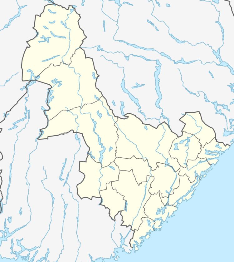
Reinevatn (English: Reindeer Lake) is a lake in the municipality of Bykle in Aust-Agder county, Norway. The 2.86-square-kilometre (1.10 sq mi) lake is located south of the lakes Store Urevatn and Vatndalsvatnet in the Setesdalsheiene mountains in the Setesdal valley, about 10 kilometres (6.2 mi) northwest of the village of Bykle. The lake has a dam on the southern edge which keeps the water level at an elevation of 1,170 metres (3,840 ft) above sea level. The dam's spillway flows into the nearby river Skargjesåni. The Snjoheinuten mountain lies just to the northeast of the lake.
Map of Reinevatn, 4754 Bykle, Norway
References
Reinevatn Wikipedia(Text) CC BY-SA