Surface area 14.42 km (5.57 sq mi) Area 14.42 km² | Surface elevation 840 m Shore length 29.76 km | |
 | ||
Primary inflows Max. length 12.9 kilometres (8.0 mi) Max. width 1.4 kilometres (0.87 mi) Reference Norwegian Water Resources and Energy Directorate Inflow source | ||
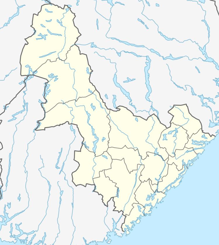
Vatndalsvatnet or Vatnedalsvatnet is a lake in the municipality of Bykle in Aust-Agder county, Norway. The 14.42-square-kilometre (5.57 sq mi) lake lies about 3 kilometres (1.9 mi) west of the village of Berdalen and the river Otra. The nearby lakes Ormsavatnet and Store Urevatn flow into the lake through dams and canals. The lake Vatndalsvatnet also has a dam on it and the water flows out of the lake from the dam into the Otra river. The lake is located in the central part of Bykle, about halfway between the villages of Hovden and Bykle. The mountains Snjoheinuten and Kvervetjønnuten both lie on the south side of the lake.
Map of Vatndalsvatnet, 4754 Bykle, Norway
References
Vatndalsvatnet Wikipedia(Text) CC BY-SA
