
Elevation 1,791 m | Topo map 1516 I Gyrinosvatnet Prominence 435 m | |
 | ||
Similar Blåbergi, Skogshorn, Folarskardnuten, Storehorn, Nystølsvarden | ||
Reineskarvet is a significant mountain in the municipality of Ål in Buskerud, Norway.
Map of Reineskarvet, 3570 %C3%85l, Norway
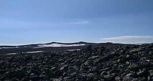
It is located in the Skarvheimen highland area between Jotunheimen and Hardangervidda, on the north side of Hallingdalen, west of Hemsedal. Reineskarvet looks like Hallingskarvet and lies parallel to it a bit farther north east. The highest point lies in the western end, while there is a summit in the eastern end with elevation 1732 m, popular for hiking.
References
Reineskarvet Wikipedia(Text) CC BY-SA