
Postcode(s) 2586 Local time Monday 5:21 PM | Postal code 2586 | |
 | ||
Location 344 km (214 mi) SW of Sydney149 km (93 mi) NW of Goulburn51 km (32 mi) NE of Boorowa Weather 31°C, Wind NW at 16 km/h, 41% Humidity | ||
Reids flat june 2013
Reids Flat is a small historic village (population 50) in regional New South Wales located within HIlltops Council.
Contents
- Reids flat june 2013
- Map of Reids Flat NSW 2586 Australia
- 2014 june reids flat
- Location
- Facilities
- References
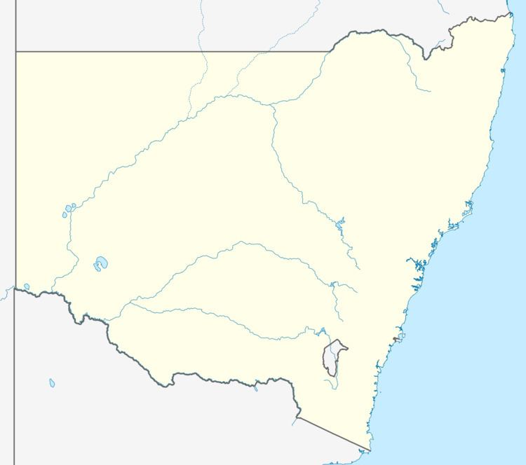
Map of Reids Flat NSW 2586, Australia
2014 june reids flat
Location
The town is sited on the south bank of the Lachlan River, approximately 40 kilometres (25 mi) southeast of Wyangala, in Hilltops Council, in the South West Slopes region of New South Wales, hidden in the Great Dividing Range.
Facilities
The village – now largely a quiet residential area – no longer has any commercial establishments within its boundaries; the nearest shop is located 22 kilometres (14 mi) away, in the town of Bigga. It does, however, possess a public hall, a showground, and a council rubbish dump. The Reids Flat Public School was officially closed on 17 December 2014.
References
Reids Flat Wikipedia(Text) CC BY-SA