
District Wolfsberg Area code 04359 Population 1,968 (1 Apr 2009) Postal code 9463 | Time zone CET (UTC+1) Elevation 809 m Local time Monday 7:43 AM | |
 | ||
Website www.marktgemeinde-reichenfels.at Weather -4°C, Wind NE at 3 km/h, 70% Humidity | ||
Reichenfels is a town in the district of Wolfsberg in the Austrian state of Carinthia.
Contents
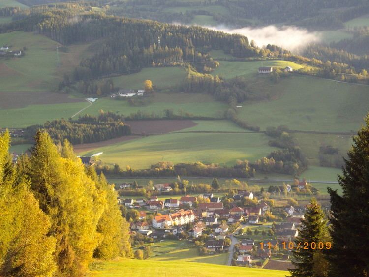
Map of Reichenfels, Austria
Geography
Reichenfels lies in the upper Lavant River valley between the Packalp and the Seetal Alps on the boundary with Styria. Neighboring municipalities in Carinthia are Band Sankt Leonhard and Hüttenberg.
References
Reichenfels Wikipedia(Text) CC BY-SA