
Admin. region Freiburg Elevation 748 m (2,454 ft) Area 6.1 km² Postal code 78564 Dialling code 07429 | Time zone CET/CEST (UTC+1/+2) Local time Monday 7:40 AM Population 528 (31 Dec 2008) Administrative region Freiburg | |
 | ||
Weather 1°C, Wind SE at 18 km/h, 56% Humidity | ||
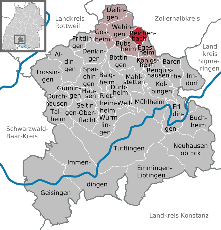
Reichenbach is a town in the district of Tuttlingen in Baden-Württemberg in Germany.
Contents
- Map of 78564 Reichenbach am Heuberg Germany
- Geography
- Neighboring communities
- Community structure
- History
- Culture and tourism
- References
Map of 78564 Reichenbach am Heuberg, Germany
Geography
Reichenbach lies on the Heuberg Plateau, a high plateau in the south of the Swabian Jura. The Lower Bära river flows through the town. Additionally a small tributary, called the Reichenbach or Talbach, runs through the town and empties into the Bära.
Neighboring communities
Reichenbach is bounded on the north by Obernheim, on the east by Nusplingen, both in the Zollernalbkreis. On the southeast it borders on Egesheim, in the southwest on Bubsheim, and on the northwest on Wehingen.
Community structure
The community of Reichenbach consists of the village of Reichenbach am Heuberg and the hamlet of Holzwiesen.
History
Reichenbach first appears in written records in the year 793. The village belonged to the County of Hohenberg. In the year 1391 it became part of Further Austria, where it remained until it became part of Württemberg.
Between 1928 and 1966 Reichenbach was a terminus of the Heuberg Railroad. At one time a farming village it has now become an industrial and residential community.
Culture and tourism
Reichenbach is affiliated with the tourist association "Donaubergland".
The rococo Catholic parish church of St. Nikolaus is home to a little known organ of the master organ builder Hieronymus Spiegel.