Airport type Public 18/36 4,840 | Owner City of Reedsburg Elevation AMSL 906 ft / 276 m 4,840 1,475 | |
 | ||
Similar Reedsburg Aviation, Reedsburg Police Departme, Reedsburg Municipal Airport, Reedsburg Fire Departme, Cardo Gorsuch Legal Ser | ||
Plane crash at reedsburg municipal airport june 17 2016
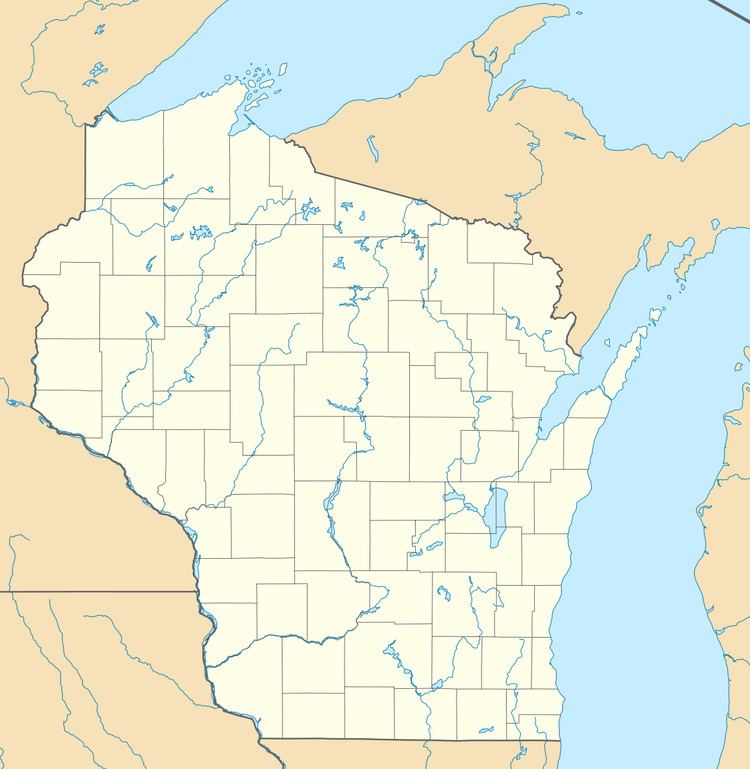
Reedsburg Municipal Airport, (FAA LID: C35) is a city owned public use airport located 1 mile (2 km) east of the central business district of Reedsburg, Wisconsin, a city in Sauk County, Wisconsin, United States. It is included in the Federal Aviation Administration (FAA) National Plan of Integrated Airport Systems for 2017–2021, in which it is categorized as a local general aviation facility.
Contents
- Plane crash at reedsburg municipal airport june 17 2016
- Exterior finishes on the new reedsburg municipal airport terminal
- Facilities and aircraft
- References
Although most airports in the United States use the same three-letter location identifier for the FAA and International Air Transport Association (IATA), this airport is assigned C35 by the FAA but has no designation from the IATA.
Exterior finishes on the new reedsburg municipal airport terminal
Facilities and aircraft
Reedsburg Municipal Airport covers an area of 153 acres (62 ha) at an elevation of 906 feet (276 m) above mean sea level. It has two runways: 18/36 is 4,840 by 75 feet (1,475 x 23 m) with an asphalt surface, it has approved GPS approaches and 7/25 is 2,510 by 50 feet (765 x 15 m) with an asphalt surface.
For the 12-month period ending June 9, 2015, the airport had 14,300 aircraft operations: 2% air taxi, 97% general aviation and 1% military. In March 2017, there were 16 aircraft based at this airport: 15 single-engine and 1 multi-engine.
